Heysen Trail Adventure Day 9: Kyeema Conservation Park to Echunga

14 June 2020

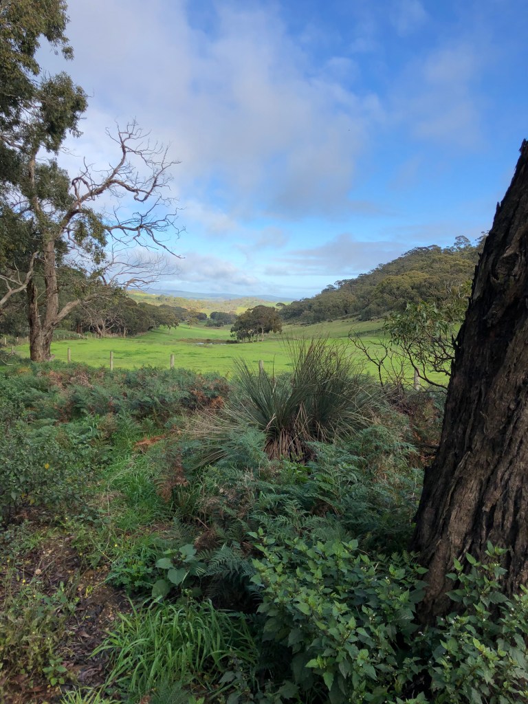
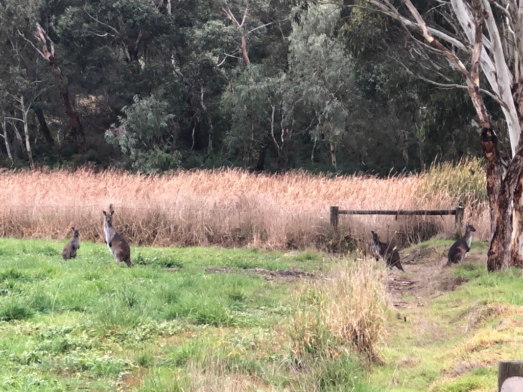
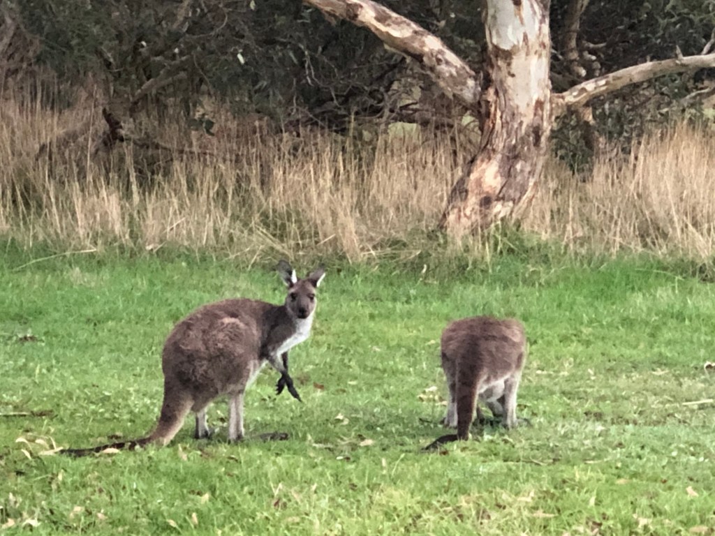
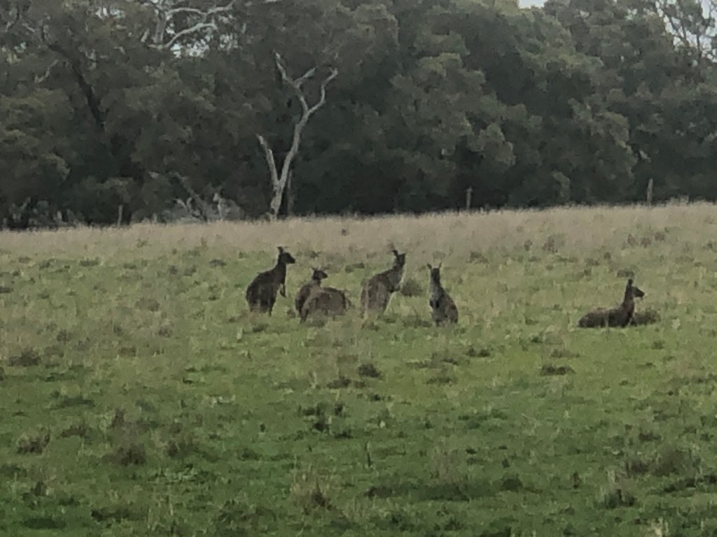
By now, I was getting closer to Adelaide, which made logistics a little easier to manage. However with a longer run planned, it was an early and chilly start with threatening clouds, so no surprise to find a deserted car park where the trail entered the park. The bonus of an early start was spotting lots of wildlife starting their day – wallabies and lots of parrots.

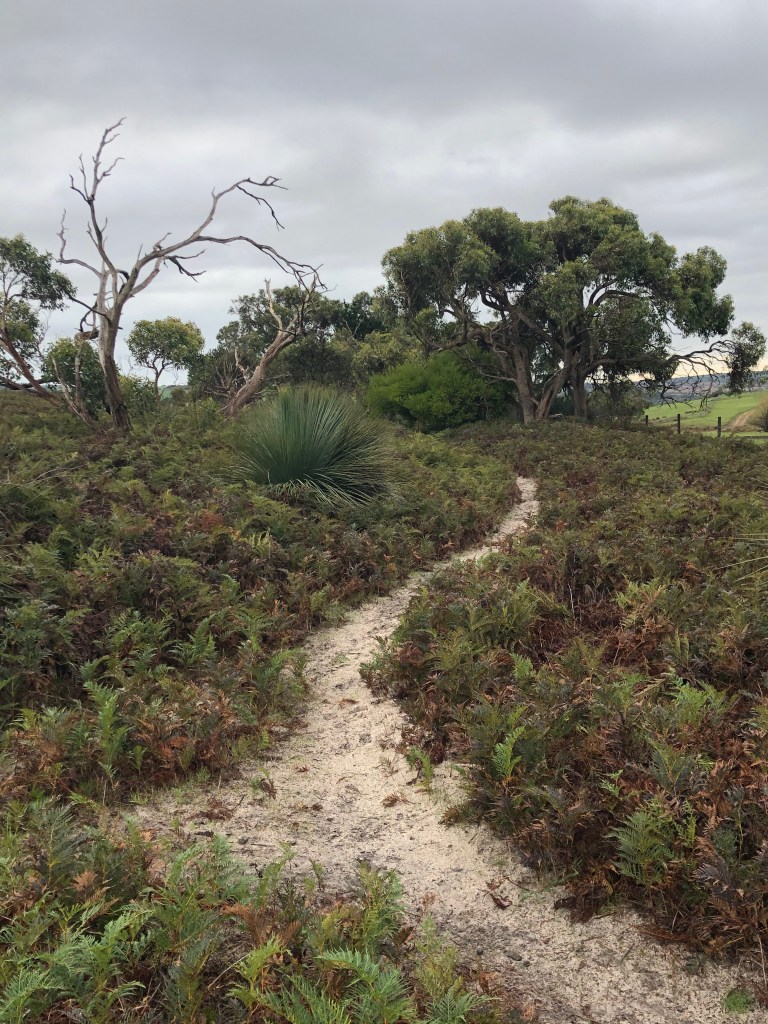
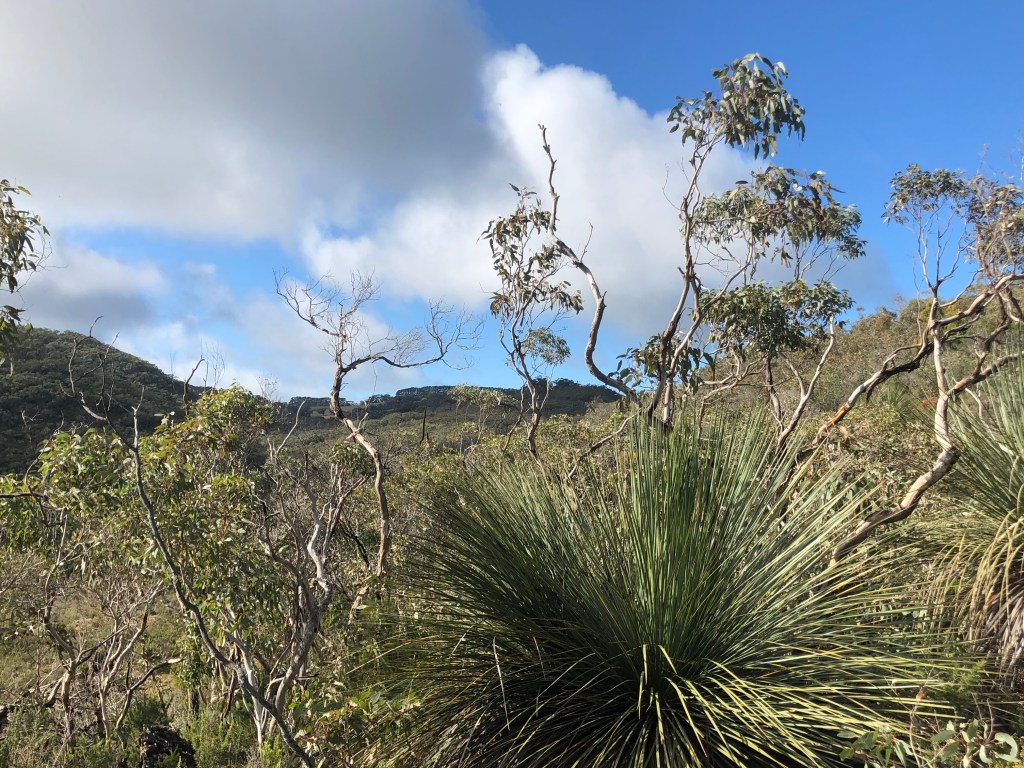
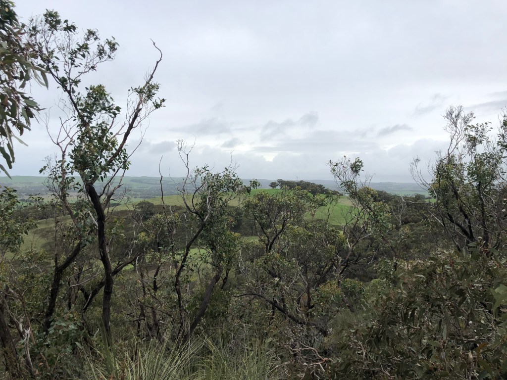
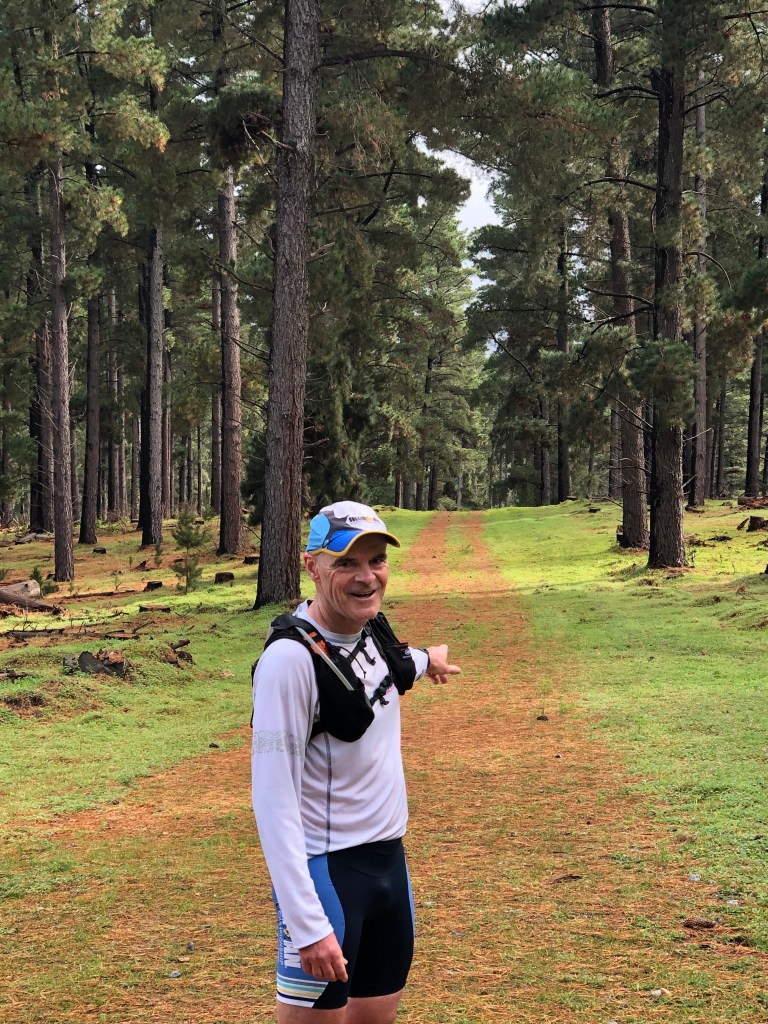
The trail through this section was generally flatter and soon opened out onto wider pathways through Kuitpo Forest. It was so peaceful running through this section, quiet and surrounded by tall pine trees and the trail was easy to follow.

Kuitpo Forest

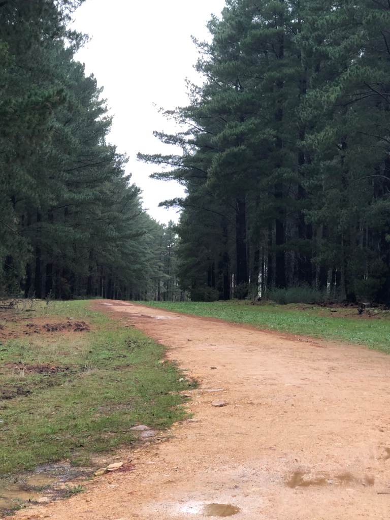
It had rained a lot overnight which made for wet conditions underfoot in a lot of places. I did find my Hoka Speedgoats and Thorlo socks dried out fairly quickly , so I managed to avoid blisters. Although my feet did look disconcertingly white and wrinkly post run.

Amazingly while running through Kuitpo Forest, I bumped into a group of friends running the other way – what are the chances!

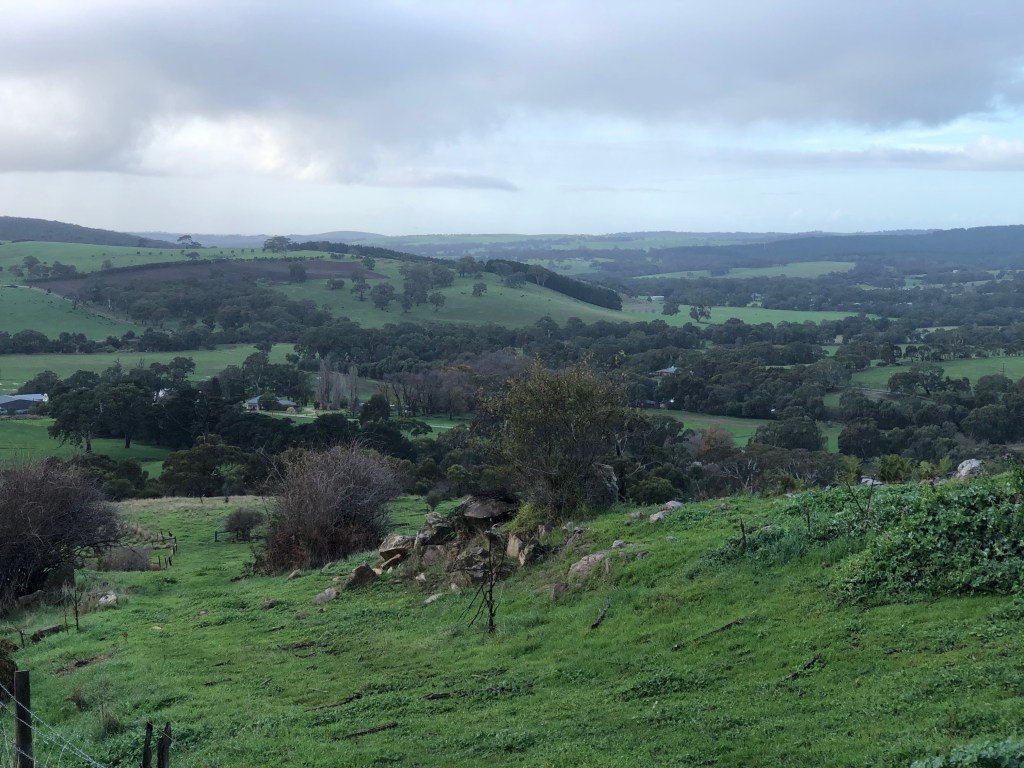
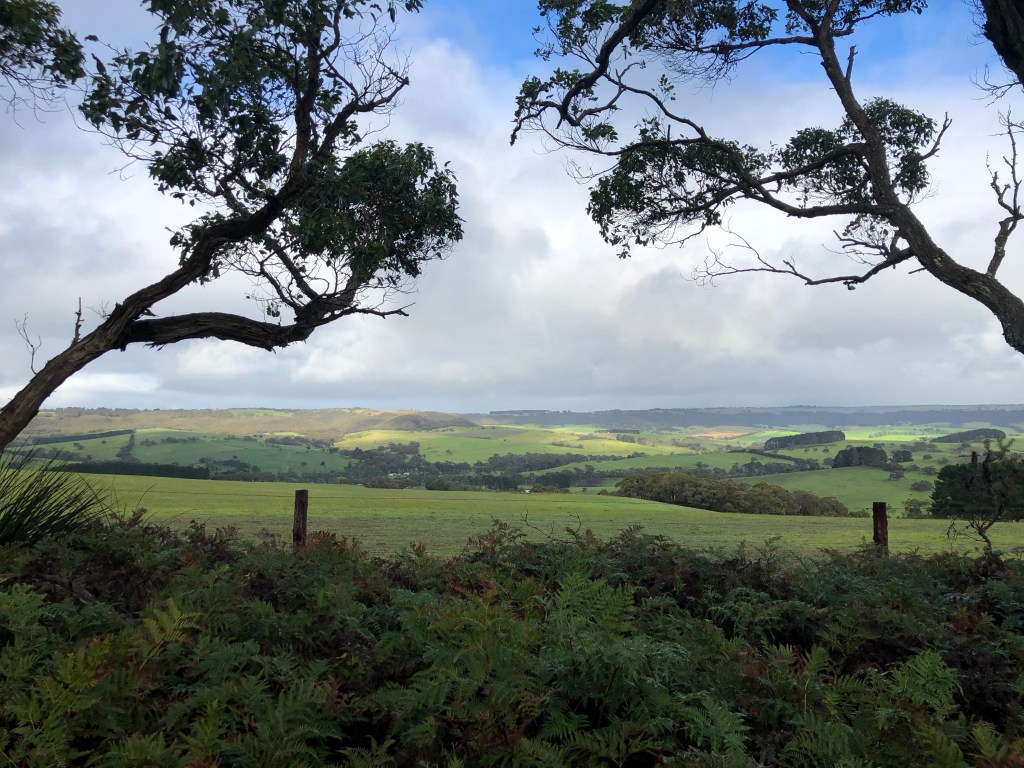
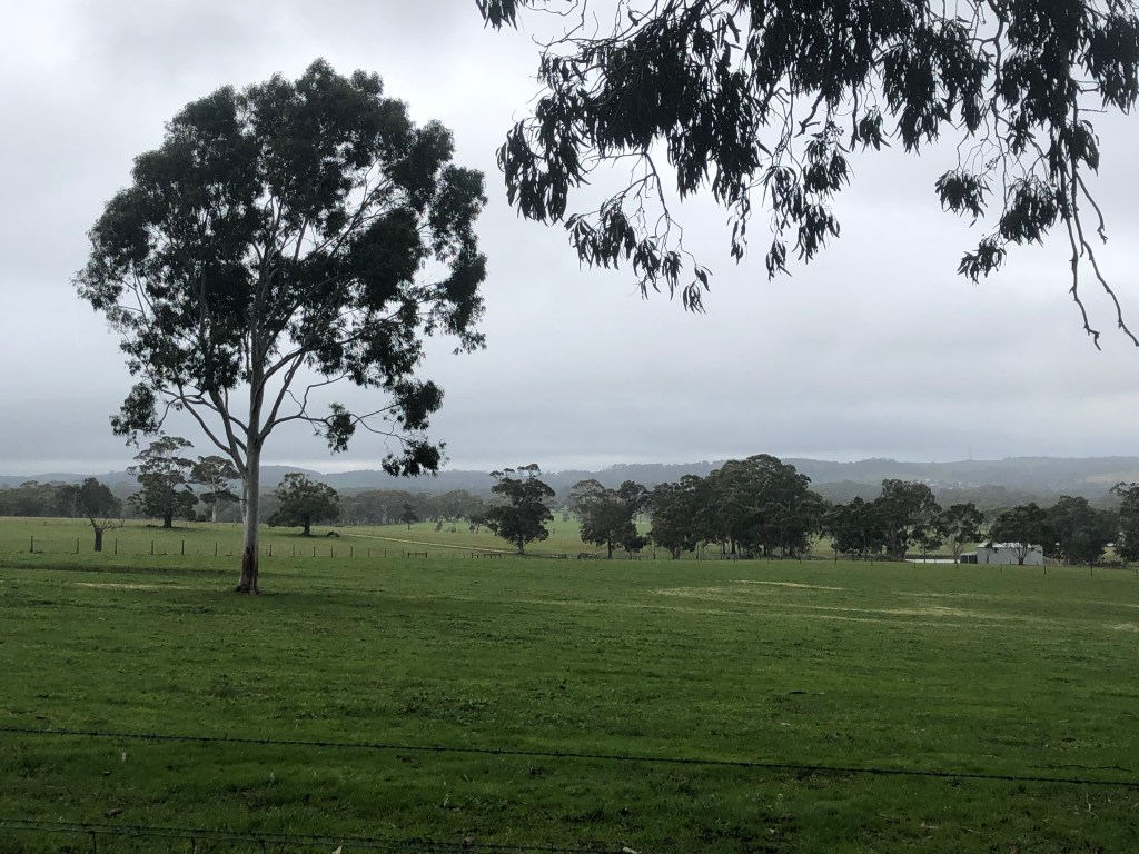
The trail profile through this area is pretty flat and I was making good time against my estimated schedule. One of the things I found difficult in early days was accurately estimating how long it would take me to cover a selected section of trail – leading to either under or over estimation of duration. I did get a bit better at this, helped by texting updates of ETA when phone coverage permitted.

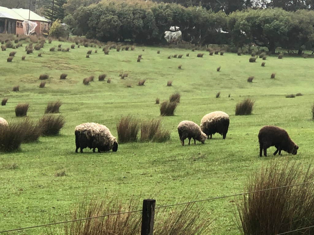
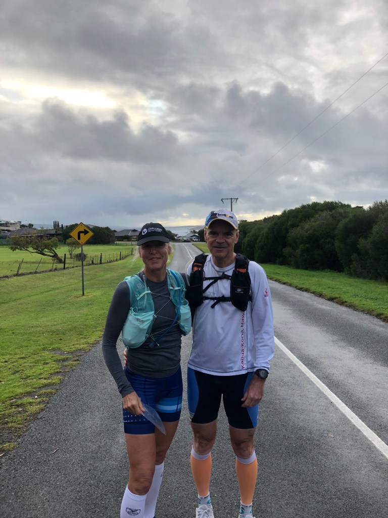
On this run I was well and truly ahead of schedule, so when I reached to pick up point, I left the trail and headed toward the pick up crew on the roads towards the town of Echunga. This resulted in a bit of a slog up some steady climbs – all of which I couldn’t count toward the trail distance tally. However it did provide me with some amusement, as I encountered the little known Black Mud-Butted Sheep, endemic to the Adelaide Hills in winter :o)

Heysen Trail Adventure Day 8: Victor Harbour Road, Mt Compass to Kyeema Conservation Park

7 June 2020

After slow going on the previous day, I was looking forward to this section of the trail as it promised a more benign profile, with only the somewhat disturbingly named Mt Magnificent to be dealt with. Having combined two days running with a weekend away, I was grateful to be dropped off at the starting point with the promise of a car drop at the other end, while Andrew went for a ride. Well and truly into winter, it was a pretty cold day and I had my fingers crossed the rain would stay away.

After a short section of sealed road, it was off road again with a sandy run through waist high ferns and shrubs. I certainly wasn’t expecting so much sand so far inland and at times it was hard going. However there really only was a single trail, so even I couldn’t get lost.

Unexpected sand!
Random encounter with a wild bear. So cold, he’d turned blue poor chap

After the sandy track, it was nice to rejoin an unsealed road before a left onto Willowburn Drive then a short section along Nangkita Road then left again and the climb up to the top of Ridge Road. Cresting the top, the route reverts to off road trail and a downhill to the edge of the Finniss Conservation Park. Regrettably this also heralded the start of the climb up Mt Magnificent. A lovely trail, but my legs were feeling considerably less than magnificent.

View from Mt Magnificent

There is a lookout after the crest of Mt Magnificent, which is worth a visit. The trail then descends through the Mt Magnificent Conservation Park which is quite small in size. Exiting the park, the route turns right onto an unsealed road and a steady climb toward the junction with Woodgate Hill Road and a significantly steeper climb to the point where the trail enters Kyeema Conservation Park. All in all, I was pretty happy to see the car parked at the designated spot and even more excited to hop in and crank the seat warmers up to maximum, before rounding off the weekend with a trundle round McLaren Vale on our bikes the following day.

Heysen Trail Adventure Day 7: Yulte Conservation Park to Victor Harbour Road, Mt Compass

June 6, 2020

Yulte Conservation Park

Starting off from where I finished before doing the section I missed near Myponga, I knew I was in for a tough opening section with lots of up and down on a narrow, rocky path. The views over the valley back towards the coast were worth it – so much so that in an epic feat of navigational ineptitude, I managed to turn myself around after crossing a stile when stopping to take a photo and managed to run back toward my starting point. You know that feeling when you think “hmmm this looks a bit familiar”… What a twit!

View from Yulte Conservation Park west toward Myponga

Once headed in the right direction again, the trail wound its way up and down over the range near Myponga Hill. Slow going until a flatter section leading into and across Hindmarsh Tiers Road where the trail joins an unsealed road (Lawless Lane) and the pace could pick up. Then back onto the trail for a long steady gradual climb over Mt Cone, before joining Wood Cone Road for a welcome downhill run to the junction with the main road to Victor Harbour, just south of Mt Compass.

Looking north toward Mt Compass

Heysen Trail Adventure Day 6: Myponga to Myponga

I went back to do the section of the trail missed on my last run, which meant a loop starting at Myponga starting at Causeway Road and heading past Heysen’s Rest.

It was a lovely day and the views heading toward the Myponga Conservation Park were wonderful. The running was easy until I got to the park, where I needed to watch my footing on some of the rocky and steeper sections.

Head down, picking my way up the slope and singing along to my Spotify playlist, I looked up at the last moment to see two trail walkers heading in the opposite direction. I don’t know who was more startled!

Exiting the park I followed the trail and found the clearly marked turn off at Martinga Park I missed on the previous run. Then it was back down James Track to Myponga, where I did a short run on the path alongside the Myponga Reservoir which is now open for walking, cycling and recreational fishing. It would make a lovely walk on a nice day, but as for me, I was off to the bakery for coffee and bun.

Heysen Trail Adventure Day 5: Inman Valley to Myponga

From Sugarloaf Hill

As is tradition, this section of the trail started benignly enough, but then developed into a long climb up and over Sugarloaf Hill. The weather was cool and overcast and the prospect of brunch in the Adelaide Hills was all the incentive I needed. Once over the hill, the trail descends into Myponga Conservation Park. Well the trail does, but I missed the turn off at Martinga Park (a private property), no doubt daydreaming again, the upshot being I stayed on James Track. Hauling out my map many kilometres later, I did the math on retracing my steps and my designated pick up time at Myponga and realised I wouldn’t have time to backtrack and still get to the pick up point in time. Curse my inattention!

I think their expressions say you are off the route

Eventually, near Myponga, James Track joins up and briefly becomes part of the trail again, so I just kept on running on the track and resigned myself to coming back another day to do the bit I would miss. Missing bit #2.

As I had a bit of time up my sleeve, I followed the trail away from Myponga up into the Yulte Conservation Park. This section of the trail becomes very narrow, a bit rocky and steep. After stopping to admire the view from near the top of the first climb, I headed back down to Myponga for a coffee at the bakery before heading off for the family brunch. Resisting the delicious looking baked goods was torture.

View from Yulte Conservation Park toward Myponga

Heysen Trail Adventure Day 4: Newland Hill to Inman Valley

I was delighted to be joined by my husband Andrew for the next section of trail. Not least because his navigation skills are much better than mine. As the weather was cold, wet and windy, we decided to save the section along the cliff top between Waitpinga Beach and Newland Hill for a day with better weather, and head inland to Inman Valley instead.

We soon left the sealed road, and as is tradition, started the first climb of the day. Not overly steep, but more of a long grind and I was feeling my legs from the day before. Not so for Andrew, who was a sprightly as a lark.

The trail in this area is a mix of unsealed country roads and trail and it after the coastline sections, significantly easier to run on. Also after Newland Hill, the terrain was gently undulating, until once again there was along grinding climb up to Robinson Hill.

It was raining on and off and there was a strong SW wind, so we needed to keep moving to stay warm.

After passing through mostly farming land, the trail enters a small pine forest where it uses fire tracks which are really nice to run on. Also the trees provided protection from the wind so we managed to get along at a reasonable pace. It was so peaceful in the forest and we encountered kangaroos and beautiful parrots as we trundled along.

Leaving the pine forest, the trail passes across some more farm land before reaching Inman Valley which was our designated pick up spot. We were slightly ahead of schedule so we jogged along the Inman Valley Road to stay warm until we all met up.

Due to deteriorating weather the next day, this brought our trail running for the weekend to an end and after a leisurely start, we headed home.

Heysen Trail Adventure Day 3: Tunk Head Road to Waitpinga Beach

A few weeks later and hopefully (but actually not) a little wiser, I headed back to where I had left off on day 2. The weather was looking kind, although the forecast did suggest rain was coming later in the day. The first section of the trail was along an unsealed road, so a good running surface. Unfortunately as is my wont, I started daydreaming and missed the trail turn off only realising my error some considerable time later. As I was wrestling with my map, apps and general ignorance, Duncan, a kindly farmer pulled over and informed me I had missed the turn off by about 5 km. Taking pity on me, he offered me a ride back to the turn off and as he didn’t seem like an axe murderer, I gratefully accepted his offer. Something you tell your children to never do. Duncan was quite familiar with the trail as he said it crossed his farm property at Inman Valley.

Back on the trail

Back on the trail, I headed toward the sea again. The trail was overgrown, and due to recent rain, the grass was quite wet and my feet were soon completely soaked. However I find my Hoka One One Speedgoats remain comfortable despite being wet and dry quickly. In any event, no blisters, so winning!

The next hurdle I encountered was Coolawang Creek exiting into the ocean. After much deliberation and fruitless scouting for a dry way around, I decided that as my feet were already wet, I should just plough across the shallowest point I could find. Then it was a scramble up the other side and after a bit more cliff side trail, down and along Parsons Beach.

Looking back after crossing the creek

View along the coast toward Waitpinga Beach

By now it was getting quite blustery, and I found this part of the trail quite unnerving as the trail was rough, rocky and too close to the cliff edge for my cowardly nature. So it was slow progress until I picked my way down again onto Waitpinga Beach. Having not even considered tide times might be relevant (rookie mistake #3), I was duly rewarded for my stupidity with an incoming tide. So instead of running along a beach, I had to slog through the sand dunes, trying as best I could to avoid the local flora.

Finally I made it up off the dunes onto the trail up to the car park. As the weather was definitely deteriorating, and there were no further pick up points before Victor Harbour, I decided not to press on and called the pick up crew.

Heysen Trail Adventure Day 2: Tent Rock Road to Tunk Head Road

After a night of torrential rain and wind, it was a relief when day 2 dawned clear, if a little on the cool side.

Day 2 turned out to be even more challenging than day 1. There was a steep descent into a valley to Deep Creek Waterfall and then some longish climbs up past the Tappanappa Campground and then down again to Boat Harbour Beach. Apart from a section along a dirt road, the trail here is very narrow and rocky in parts and I really had to watch my step.

After Boat Harbour Beach, there was another short cliff edge section and then a run along the sand on beautiful Tunkallilla Beach. Apart from the unnerving cliff scrambling to get down.

I had arranged to meet the pick up crew at a carpark about half way along the beach, but when I got there I couldn’t find out how to get to the carpark. As it turned out, neither could the pick up crew as it really needed a 4WD to access. A step too far for the trusty Nissan Pulsar. I also had no phone reception so no way to get in contact and reorganise the meeting point. Rookie mistake #2.

After a murderously steep climb off Tunkallilla Beach, it was on to the next closest road, which meant another climb over Sheoak Hill, where yet again I lost the trail markers heading across a paddock filled with anxious sheep, running madly about, bleating their outrage at my invasion.

By now, the weather had turned, it was freezing cold and I had been on the trail for about 4 and a half hours instead of the 3 hours I had planned. Needless to say, the pick up crew was more than a little worried. I could see telephone wires heralding a road at the other side of the paddock and when I finally got there, there was phone reception again so I was able to get in touch with my crew and rearrange the pick up point. I trudged slowly up Tunk Head Road and was delighted when the trusty red Pulsar came into sight. The tragedy of the day was that as I was so much later than expected, there was no time to get to Port Elliot Bakery for the donut of the month and even the Yankalilla Bakery was closed. Devastation.

Heysen Trail Adventure: Day 1

Cape Jervis to Tent Rock Road

With some trepidation I started my odyssey. I did not know how well the trail would be marked and my map reading skills are limited, but I took heart from the fact that the trail followed the coastline along Backstairs Passage and as long as I kept the sea on my right, it shouldn’t be too hard until the trail veered inland at Blowhole Beach. Day 1 was when I learned the lesson that the contours on the map are to be respected and that a conservative estimate of distance able to be covered in a given period of time is best.

The trail started off easily enough but soon became a bit of a goat track, often at an acute angle on the side of a slope and quite stony in parts. It is well marked an easy to follow if you pay attention. The scenery is stunning and worth every step. I did get lost at a reroute near Eagle Waterhole and veered off inland ending up in Goondooloo Hut in Deep Creek Conservation Park. As the skies were looking ominous, I called the pick up crew and we managed to find each other just as the heavens opened.

You can see Kangaroo Island in the distance on the RH side of the photo above

Fishery Beach

Running the Heysen Trail

With every race event entered cancelled or postponed, I took it as an opportunity to set my own COVID project. Something different to triathlon, that was interesting and challenging, but above all fun. Something I had in the back of my mind for a few years was to run the Heysen Trail, which stretches from Cape Jervis in the south to Parachilna in the north. It’s a mostly off road trail about 1200 km in length. As soon as local travel restrictions lifted, armed with maps, apps and an appalling sense of direction, I was off. What could possibly go wrong?