After my foolishness yesterday, I was fortunate to be joined that evening by my husband Andrew for the weekend, and he kindly dropped me off at Kapunda to start my run. He was off to enjoy a ride around the Barossa and we planned to meet later for a well earned trip to the Tanunda Bakery.
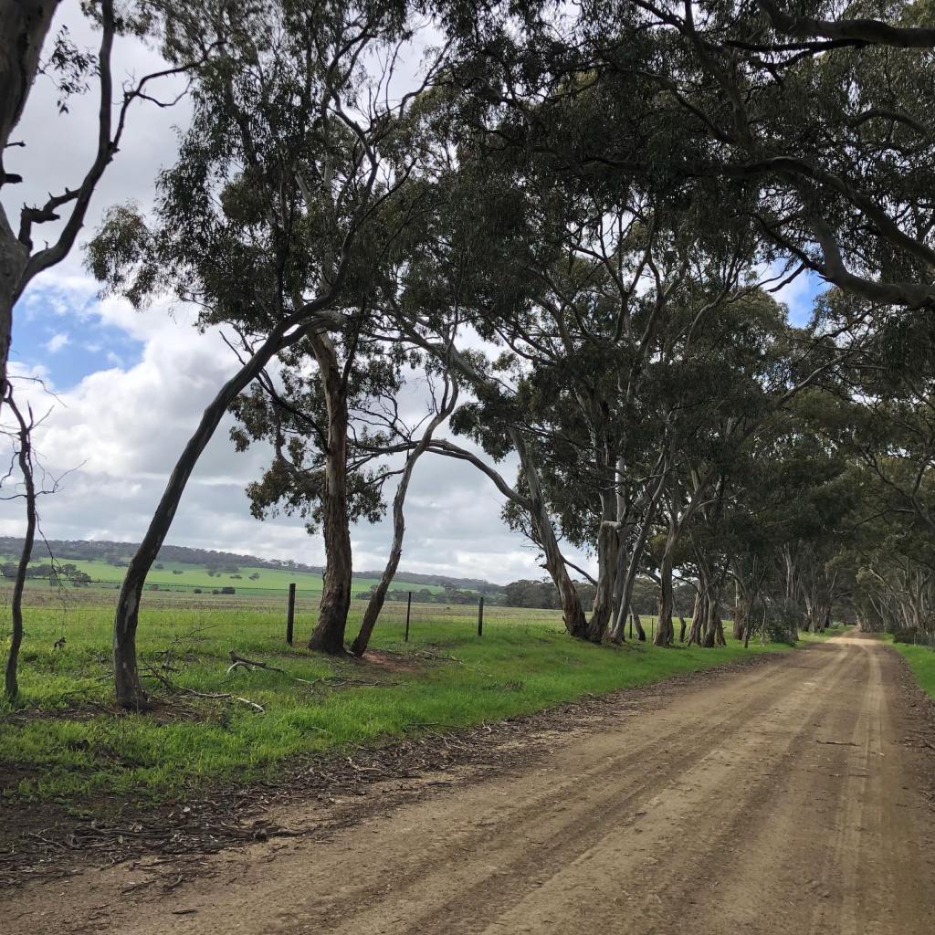
Heading south from Kapunda, I was determined to stick to the route as best as my lamentable navigation skills permitted. Signage just south of the town is a bit confusing, but eventually I found Mary McKillop Walk (an unsealed road) and from then on the signs were easily found. After a left turn onto Hankel Road (also unsealed) the route returns to trail, the next landmark being crossing the Swan Reach pipeline.
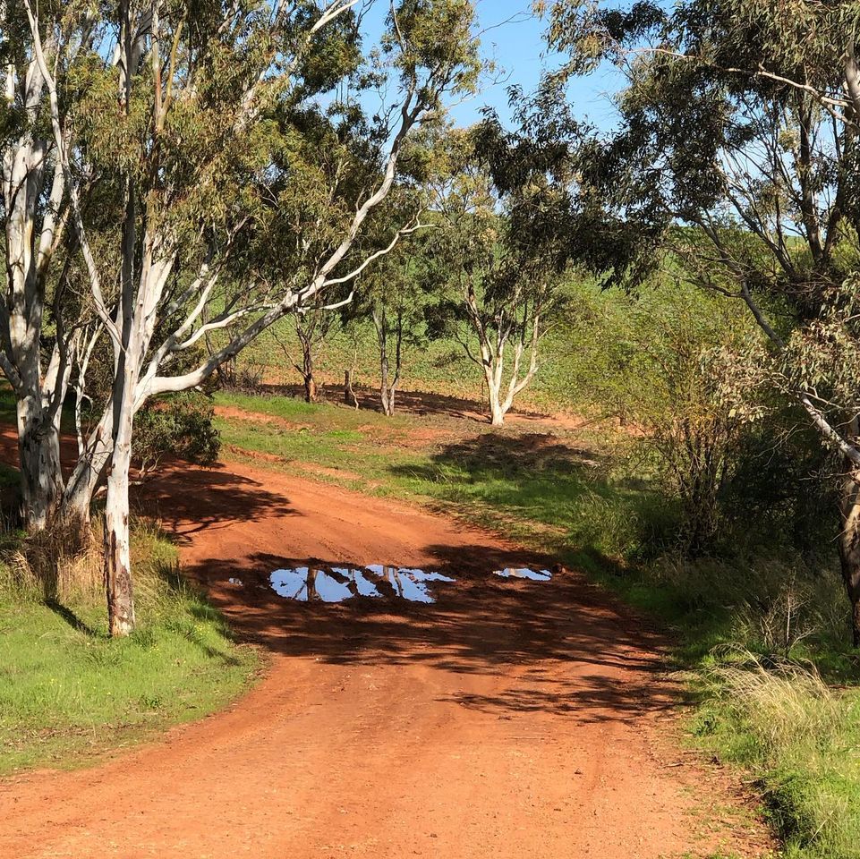
The trail is pretty flat through this region with a gentle climb over Nain Range. It passes across numerous paddocks which were sown with crops, slowing me down as I didn’t want to trample the crops and I was wary of snakes.
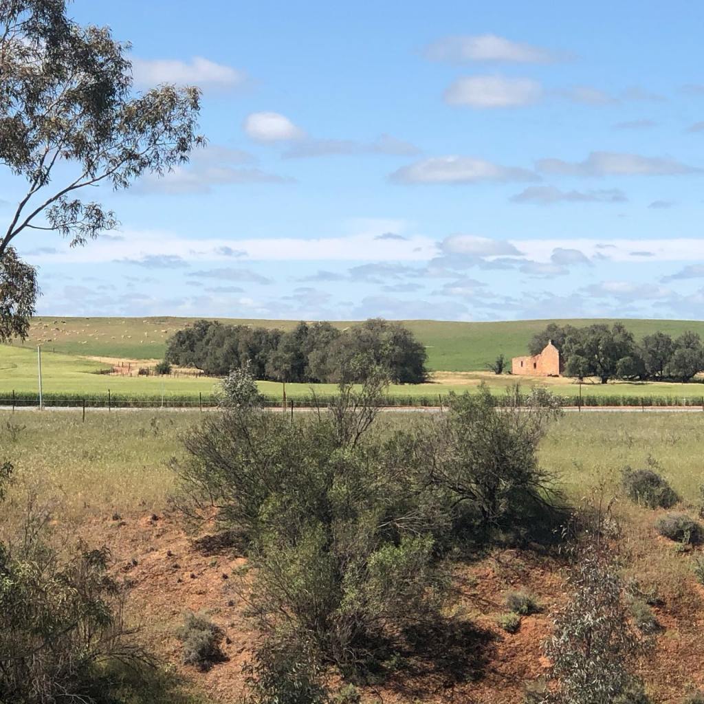
After the fields the trail zig zags and passes through the town of Greenock, with a section of running alongside the main road to Adelaide. Fortunately this was short and after passing through an underpass, it reverted to minor sealed and unsealed roads into the northern side of Tanunda.
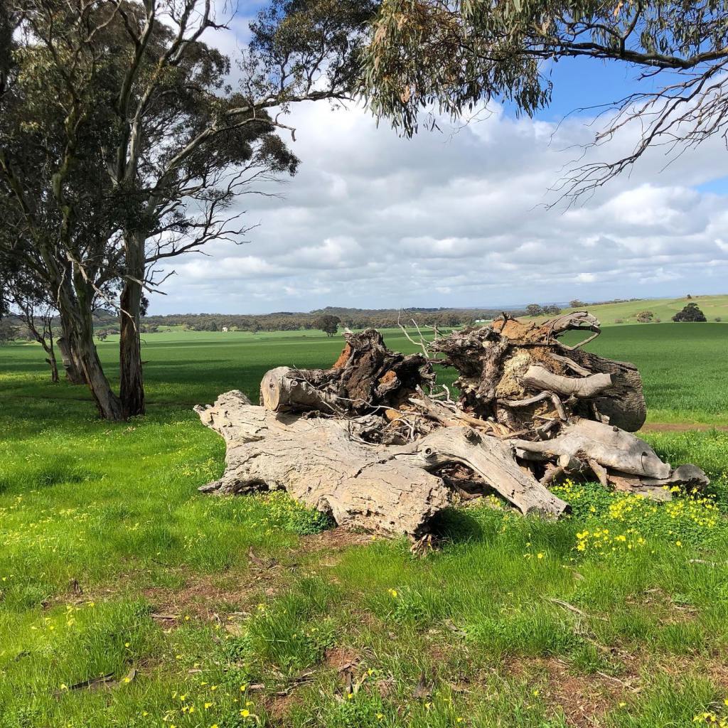
Whilst pleasant enough with vines and lots a greenery, I wouldn’t rate this run as visually spectacular compared to other parts of the trail, although I did spot a kangaroo resting amongst the wildflowers at one point.
After a long run yesterday, I planned a shorter 20 km run heading north from Corryton Park Road to Tanunda for day 2 of my multi day run. As the next few days running were closer to Tanunda, I left the caravan park at Kapunda and moved base to Tanunda. The plan was to start late morning and finish around the time I could check in to my accommodation.
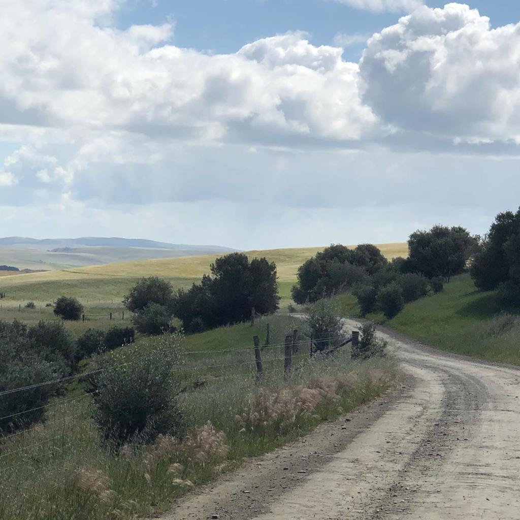
Start point, Corryton Road
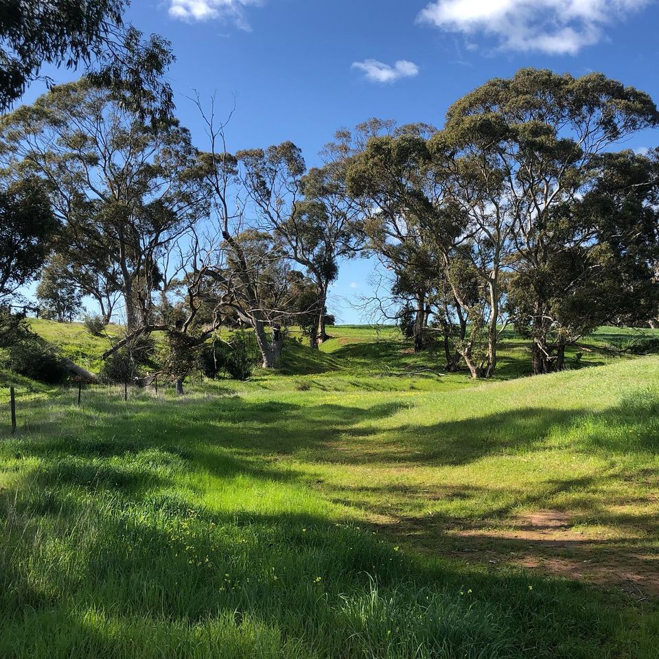
It was an absolutely gorgeous day for running, with sunny skies and mild temperatures. The trail in this section is absolutely beautiful – views for miles and long sections of easy running. Surprisingly my legs felt pretty good after the previous day’s efforts and I managed to get along at a reasonable and comfortable pace.
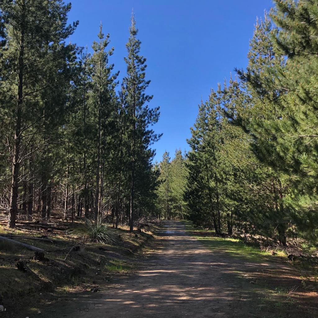
After a flattish section, the trail started to climb gently upwards and entered the Mount Crawford Forest. Here the trail follows the unsealed access roads – pretty and soft underfoot.
Mt Crawford Forest
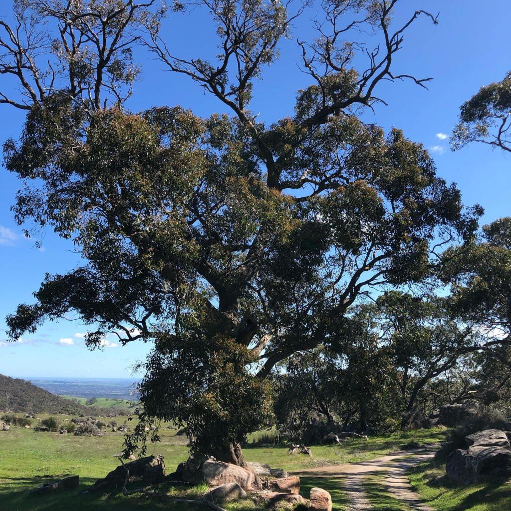
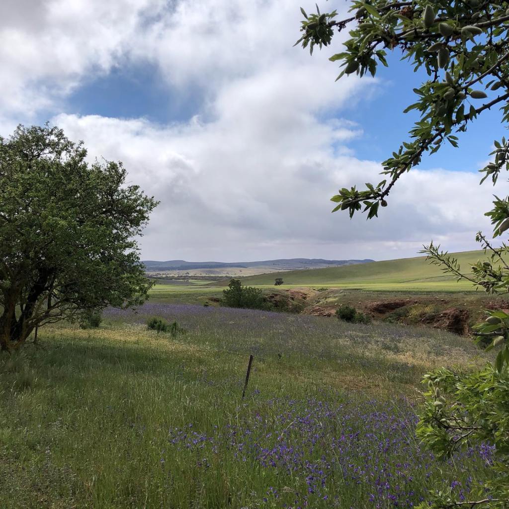
After crossing Wallowa Track, the trail enters the Kaiserstuhl Conservation Park, before descending downwards to Bethany Reserve. The views from the top across the valley were just beautiful, with the countryside green and lush from recent rains.
View looking west Looking north east
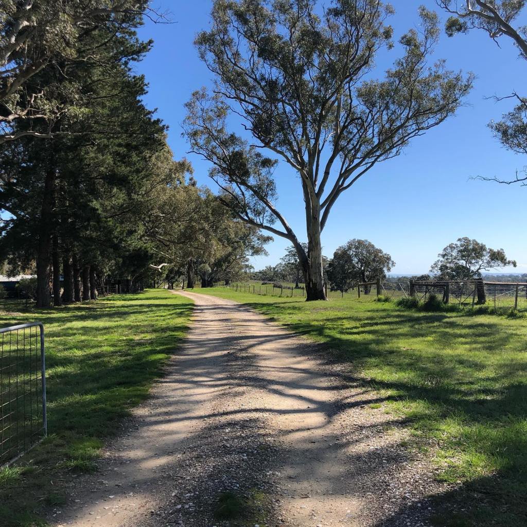
Once past Bethany Reserve the trail is pretty flat into the outskirts of Tanunda and once again the trail joined an unsealed road.
Then it was onto a series of roads skirting the southern side of Tanunda eventually meeting the main street, Murray Road where I intended to stop and go to a café for a late lunch.
And here I made another blunder. Feeling good and ahead of schedule I decided to continue on the trail as it went around the back of Tanunda and turning northwards again. I thought I would be staying pretty close to the centre of Tanunda and so a few more kilometres wouldn’t hurt and I would end up closer to my accommodation. Wrong, wrong, wrong! As I realised when I found myself on Seppeltsfield Road, quite a way west of the town. Curse my hubris! So it was a sad trudge back toward town, the only salvation being finding sanctuary at the Barossa Chocolate Factory and a taxi ride back to my car.
After finishing up toward the end of 2020, I had a long break from the trail. I did train for a multitude of other events, most of which were cancelled or deferred – thanks so much COVID. Not.
One of those events was Run Larapinta – a four stage race taking in sections of the Larapinta Trail near Alice Springs. So I decided to do my own multi day event covering some sections of the Heysen Trail around the Barossa Valley. Not that the plethora of wineries and fooderies had anything to do with course selection :o). First stop was the Kapunda caravan park.
I started with a longer run of around 45 km from Marrabel heading south to Kapunda. It was a very cool and crisp start to the day – there was ice on my car when I set off! I passed some disapproving alpacas, got swooped by some ferocious and annoyingly persistent magpies and made a navigational blunder within 2 kms of starting. How could I have missed the very clear signage?? Fortunately I found my way back onto the trail without having to backtrack.
The trail is pretty benign through this section, with gradual ups and downs and a lot of paddocks. The countryside was very green, so I was pretty cautious through any overgrown bits and made lots of noise to hopefully scare away any snakes coming out of winter hibernation.
After the frosty start, the day was perfect for a long run. Amazingly I didn’t encounter a single other person on the trail. The trail joins unsealed access roads from time to time, which made for easy running.
After my initial error, I found the trail super easy to follow and arrived back into Kapunda in good shape where it was a short walk from my stopping point on the trail back to the caravan park.
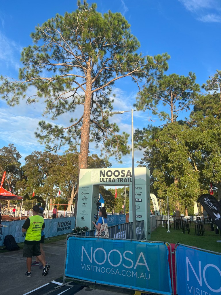
Quick trip to Queensland to take on the 50km trail run as part of the inaugural Noosa Ultra Trail event. Options included runs of 25km, 30km, 80km and 100km. The 50 km was an out and back course which made logistics easy. The event was extremely well run, from registration through to excellent course markings and terrific volunteers.
The 50 km course was not at all technical, with a decent amount of single track, unsealed fire roads and some bitumen. Overall the elevation was around 900m but there was a brute of a climb at the half way turn around – due to a course reroute courtesy of the recent torrential rains. Unnecessarily cruel, especially as the run ended up as 51 rather than the advertised 50 km.
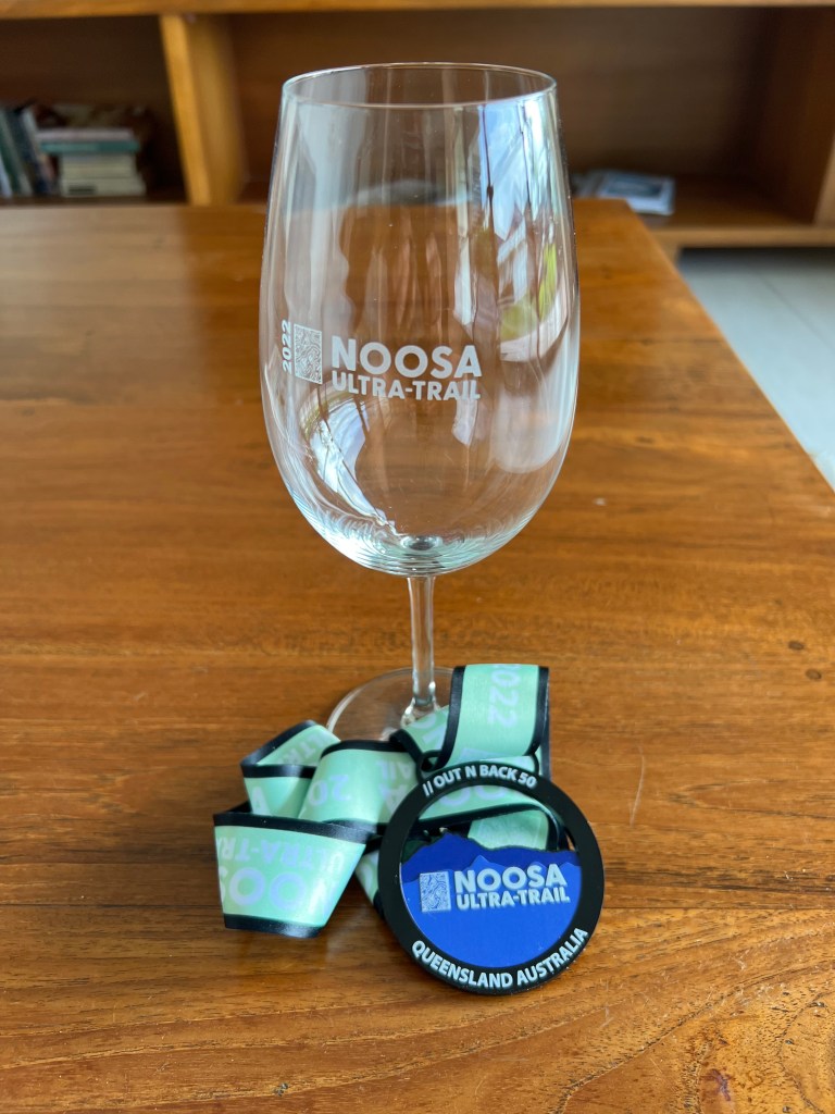
The weather was kind – warm but not too hot and humidity wasn’t too bad for us not used to that sort of thing. I was lucky enough to come away with the age group win and scored an enormous wine glass as my trophy.
I would recommend this as a good event if you’re thinking about doing it next year. I stayed at Noosa Heads which was a short 10 minute drive from the race venue at Tewantin. The organizers also had a bus service from Noosa Heads to the race venue which was included in the race entry.
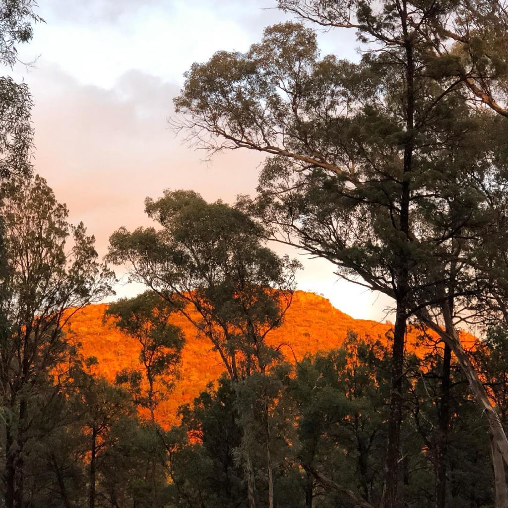
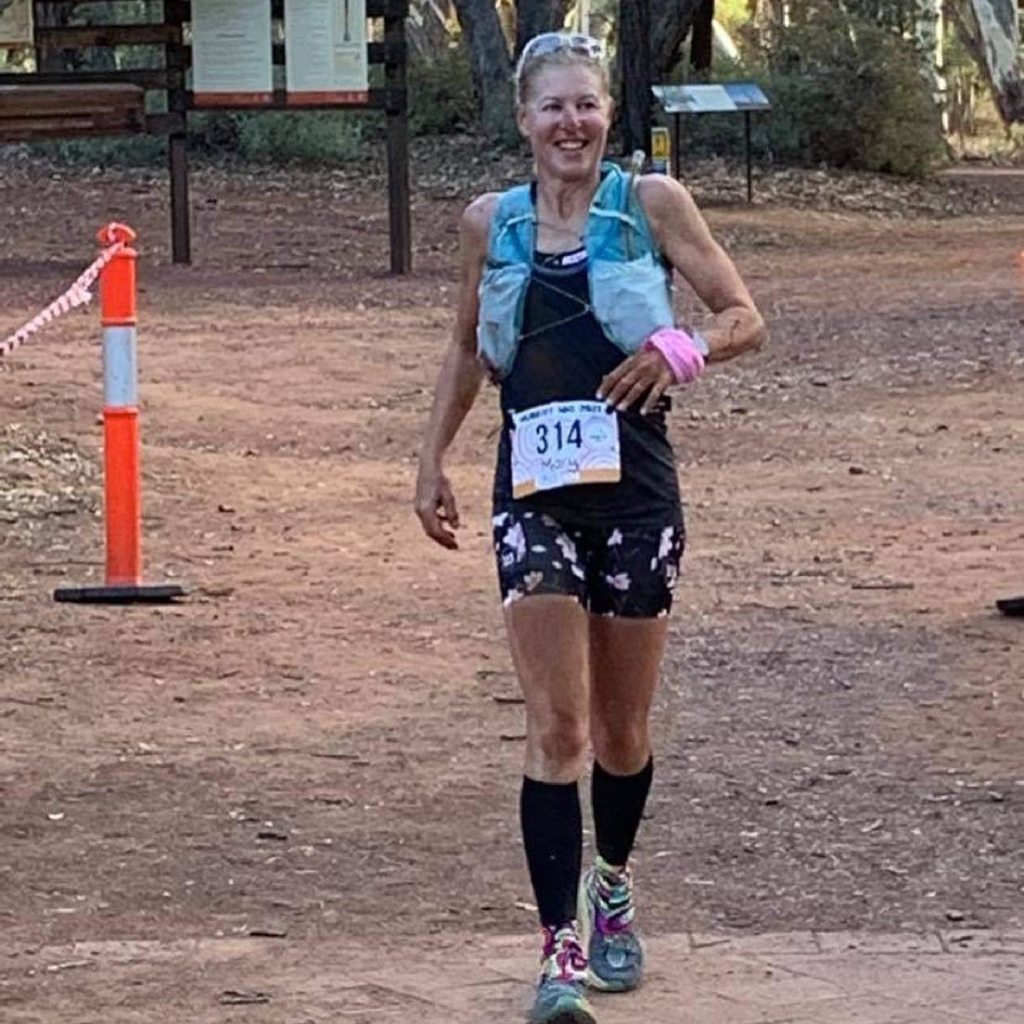
Hallelujah! A race at last. I ran the 50 km option of the final running of the Hubert 100 event which was based in Wilpena Pound in the Flinders Ranges. An added bonus was clicking off some more of the Heysen Trail as it formed the majority of the 50 km race route.
Sunrise at Wilpena Pound
The event takes its name from South Australian 20th century explorer, Sir Hubert Wilkins, who is famous for quoting “adventure is just a word used to disguise a series of unplanned surprises”.
After seeing the start of the 100km race, we took a bus ride to the Trezona Campground which was the starting point of the 50 km event. We then essentially followed the Heysen Trail back to the Wilpena Pound resort and campground. Winning!
Part of the course – the Heysen Trail is to the right of the creek bed.
We had terrific weather for running. Minimal wind, clear sunny skies and low to mid 20 degree temperatures. Perfect. The scenery is strikingly beautiful – I never tire of the views. I struggled a bit around the undulating 20 – 25 km mark so did a bit of walking and chatting with a fellow runner from Victoria, but then got my second wind and was able to push on to the next aid station which was at about the 36 km mark. This was where the drop bags were and I restocked with fuel including some Coke – aka black gold. Only 14 km to go. But this was right next to the campground, and I could see our campervan. Cruel! Nevertheless on I went even although I knew this would be the toughest part of the run.
And so it was. We left the Heysen Trail for a loop up and over St Mary’s Peak and back around to the Pound. St Mary’s Peak has an elevation of 1168m and the climb is not for the fainthearted. We approached it from the north and for those of us with a fear of heights, it certainly posed a significant mental as well as a physical challenge. According to my Garmin, one kilometer in the hardest section took me 38 minutes. To be fair there was a fair bit of stationary clinging to the rocks in fear, crawling on hands and knees, scaling a few great big rocks with the help of some fellow runners and a great deal of caution. Not my favourite part of the run. The descent is no picnic either. It is very steep, rocky and I was thankful to make it down without stacking it.
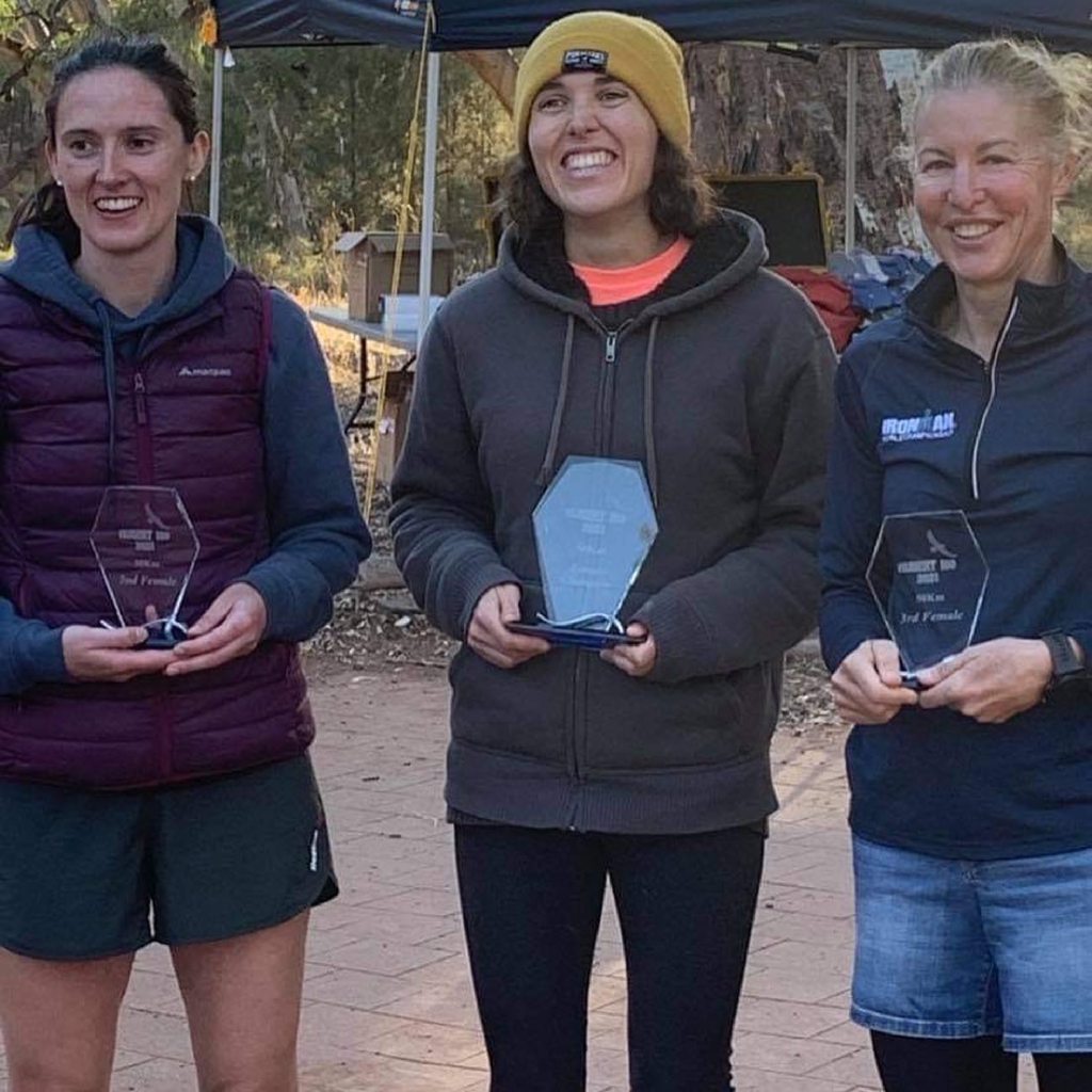
Then it was the last push to the finish line. Ironically with about 3 kms to go, on a perfectly flat wide unsealed path, I tripped on a rock and went face first into the dirt, so finished the race covered head to toe in red dust. Amazingly I finished 3rd female overall, a completely unexpected result, albeit quite some time back from the winner and 2nd place.
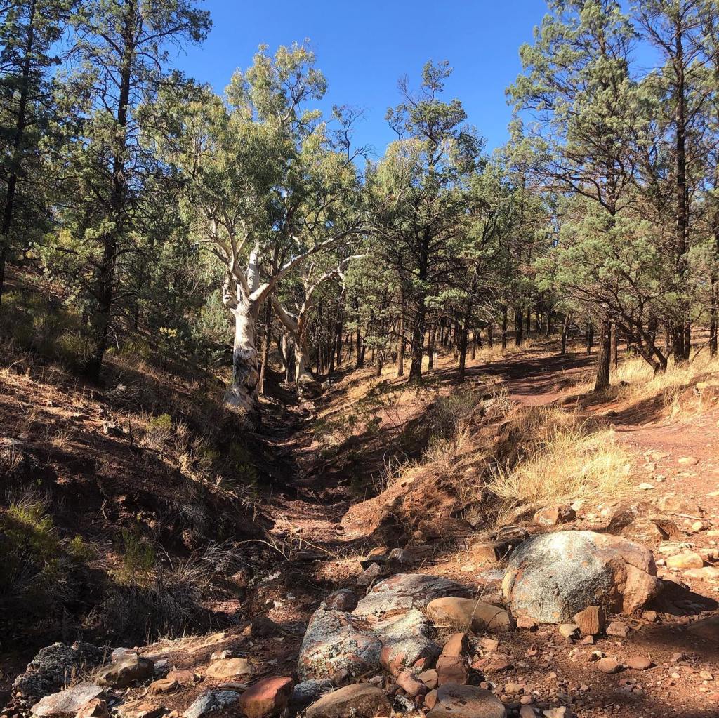
Although we had to leave Spalding that day to head home, there was time for one last run. Due to time constraints I chose to start north of Spalding and head back toward the town. This meant a shorter commute to the drop off point and no need for a pick up. The terrain was almost completely flat which meant a quicker run overall.
Also having checked out the section between Tin Hut Corner Road and Olives Road, I had noticed a lot of long grass and my snake phobia kicked in, so I convinced myself that it would be better to come back for that bit when snakes are hibernating.
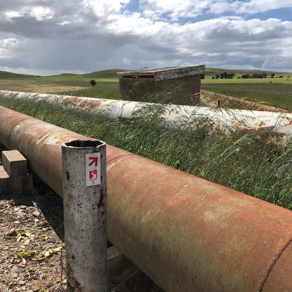
Aquaduct
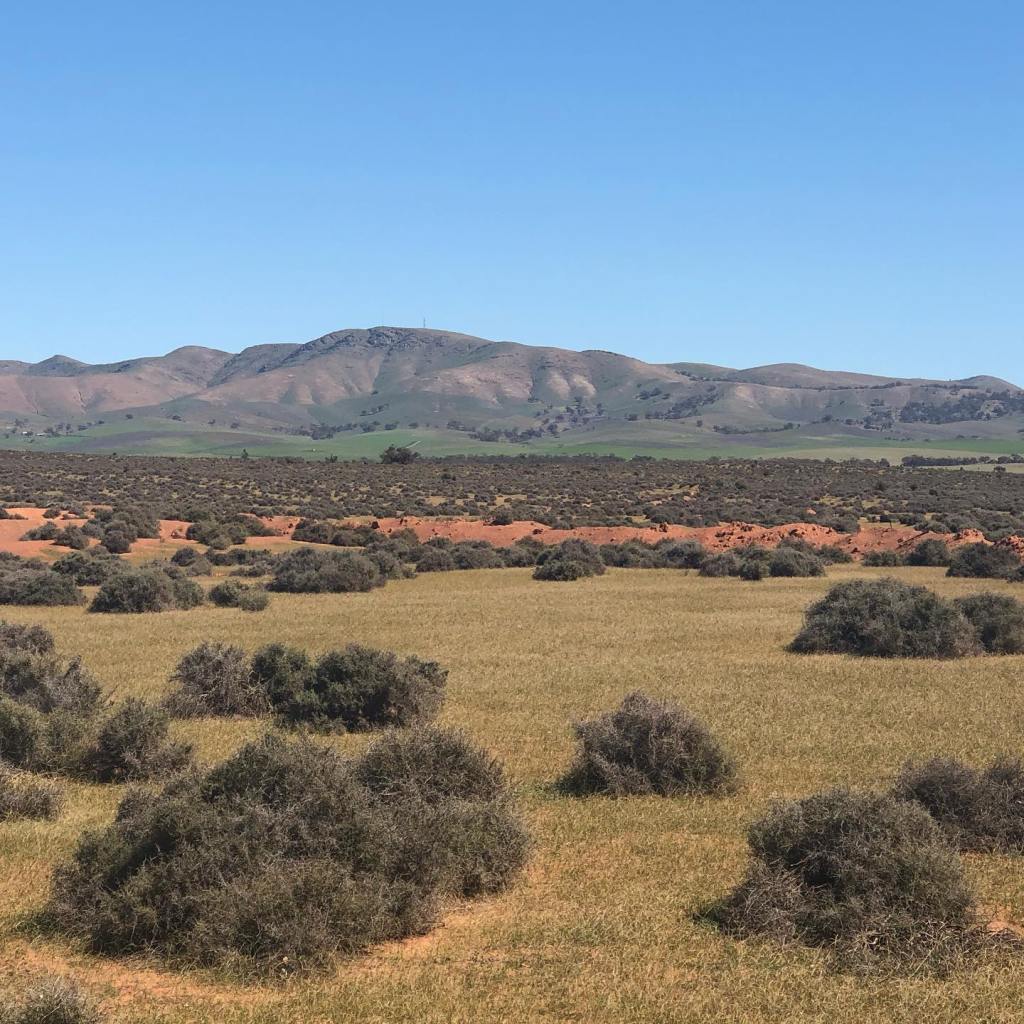
After the views around Mt Bryan the day before, this was a pretty mundane section of trail scenery wise, traversing across farmers paddocks and along unsealed roads. However what it lacked in scenery, it made up for in weather – sunny, warm and virtually no wind. Ideal running weather at last.
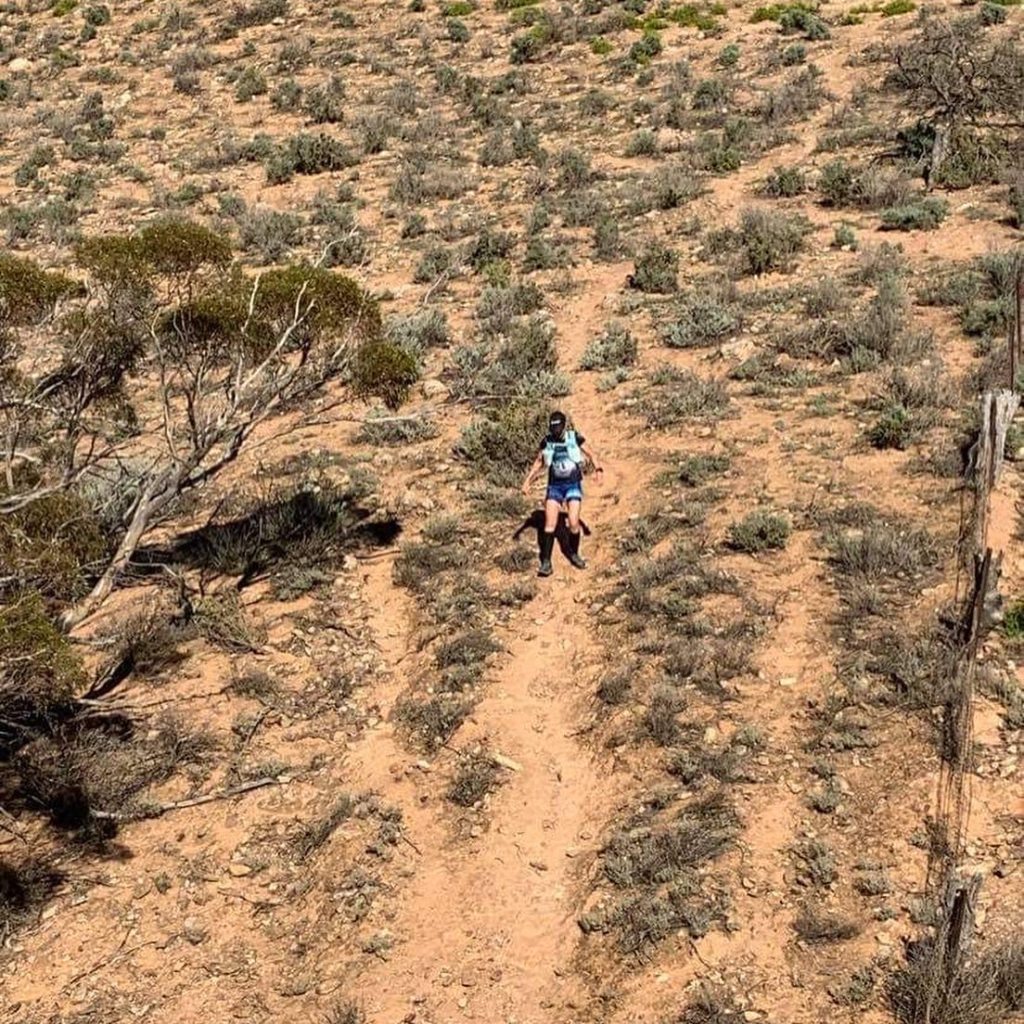
The trail has been recently rerouted to follow the Morgan to Whyalla pipeline for a while and this bit was quite overgrown so it was slower going as I picked my way along and made plenty of noise to scare off any poisonous reptiles. I encountered a mob of sheep in a grassy paddock which helpfully ran around furiously in all directions which I initially considered was assisting the snake deterrent plan until I thought as they were running away from me, any snakes might be heading toward me!! Yikes! Recognizing I was overthinking the situation I was still relieved to exit the paddock and hit the irrigation channel the trail then followed for around 5 kilometers.
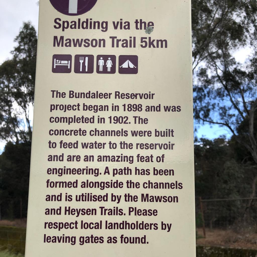
This was a very runnable part of the trail adjacent to farming land. It goes alongside some old cuttings for the irrigation channel, and ruins of stone cottages and farm buildings. It also forms part of the Mawson Trail which is another walking and cycling trail through South Australia. The trails frequently cross and join up before diverging again.
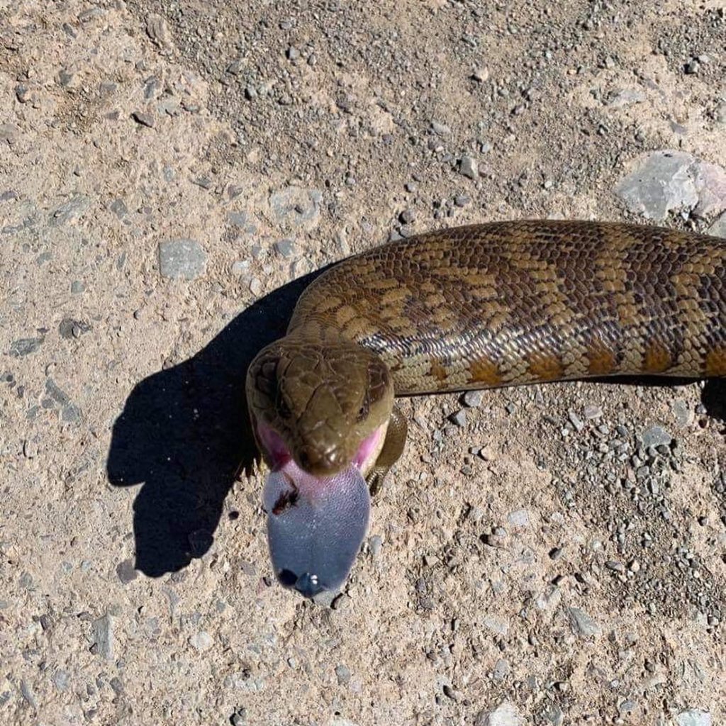
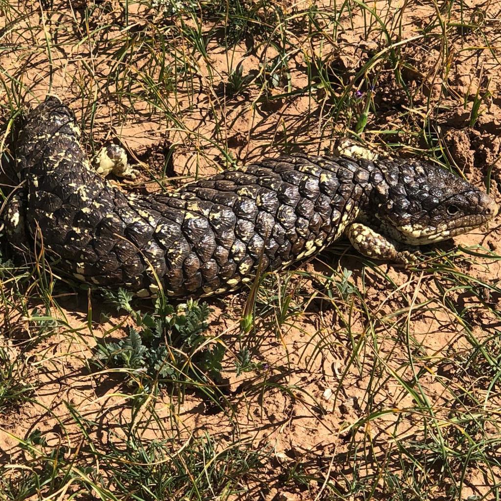
There were lots of gates rather than stiles to clamber over in this section (for cyclists), which meant a lot of opening and shutting. It was in this part that I encountered some shingleback lizards enjoying a nice sunbake.
Shingleback lizards are colloquially called stumpy tailed lizards or stumpies
After leaving the irrigation channel, and negotiating a gate where bees had set up a hive in the gate post, the trail crosses Belalie East Road and then runs parallel to that road into Spalding. A quick refresh and then it was into the car to head home.
Heading into Spalding
Due to other commitments, this was my last run on the trail before it shut in November for fire season. At this point, I estimate I had covered around 60% of the trail.
The weather at this time of year can be quite changeable so it is best to pack for all conditions. The mid north of South Australia is semi arid with cold nights and warmer days during spring so layering is key.
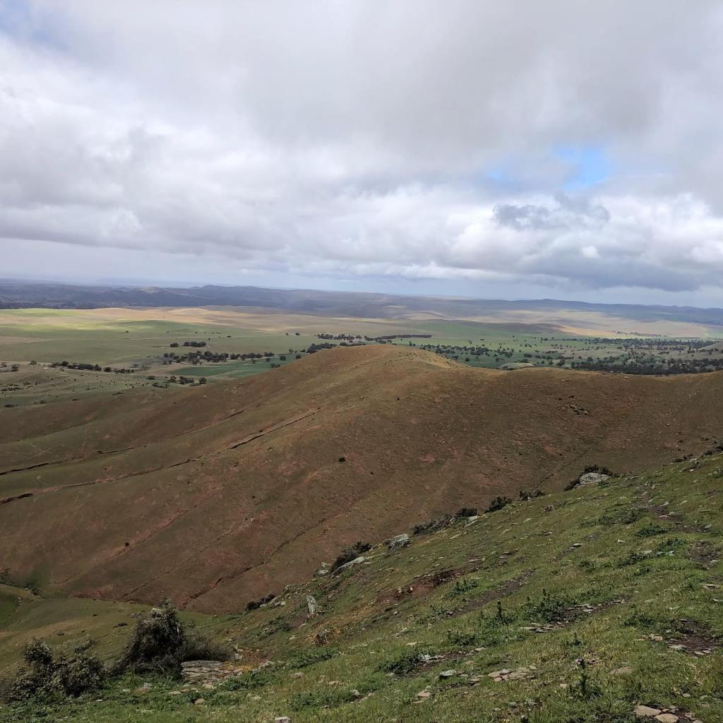
After an extremely cold night (down to 0 degrees Celsius), the day dawned cold but clear for the second day of trail running this trip. So it was back to Dust Hole Creek Road to tackle a section heading west toward Hallett and Spalding. This would involve traversing Mt Bryan (elevation 929m above sea level). Starting at around 500m ASL, the first 5 or so kilometers was a long gradual climb of easy running along an unsealed road before a right hand turn onto the trail for the start of the climb up Mt Bryan.
Recent rains making the countryside vey green
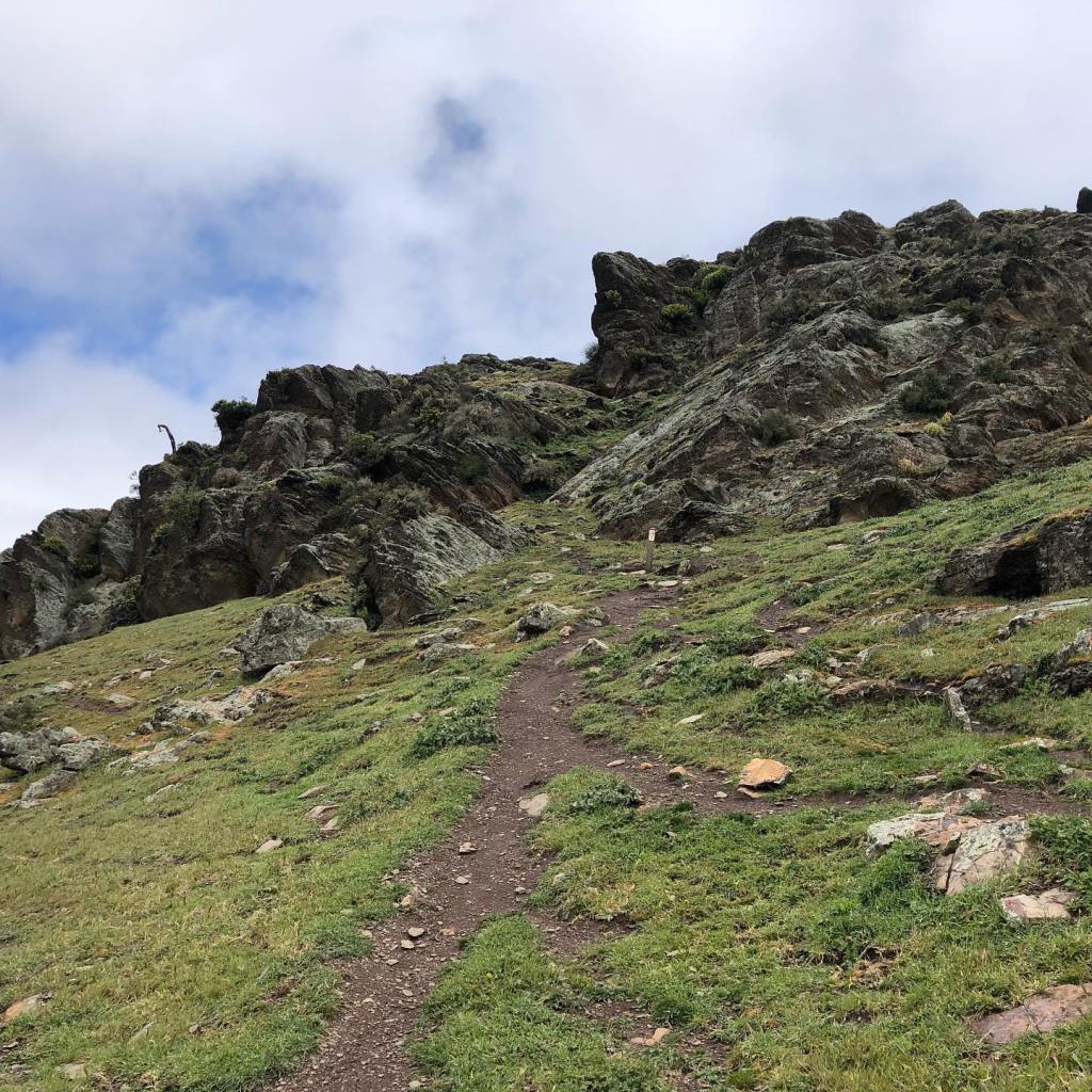
The climb up Mt Bryan starts gradually but then really kicks up quite steeply. The trail is reasonably well marked but loading the route onto an offline map app is a good idea. I encountered two walkers who were struggling with navigation but as this is definitely not my strength, I was of very little assistance. An area I definitely need to work on.
Mt Bryan
The trail becomes quite rough, rocky and due to recent rains it was very slippery in some sections. So a lot of scrambling. By this time the weather had turned decidedly wintery and it was cold and very windy on the exposed ridges. More a matter of plugging doggedly upward rather than being able to enjoy the view.
View south from about half way upUpward
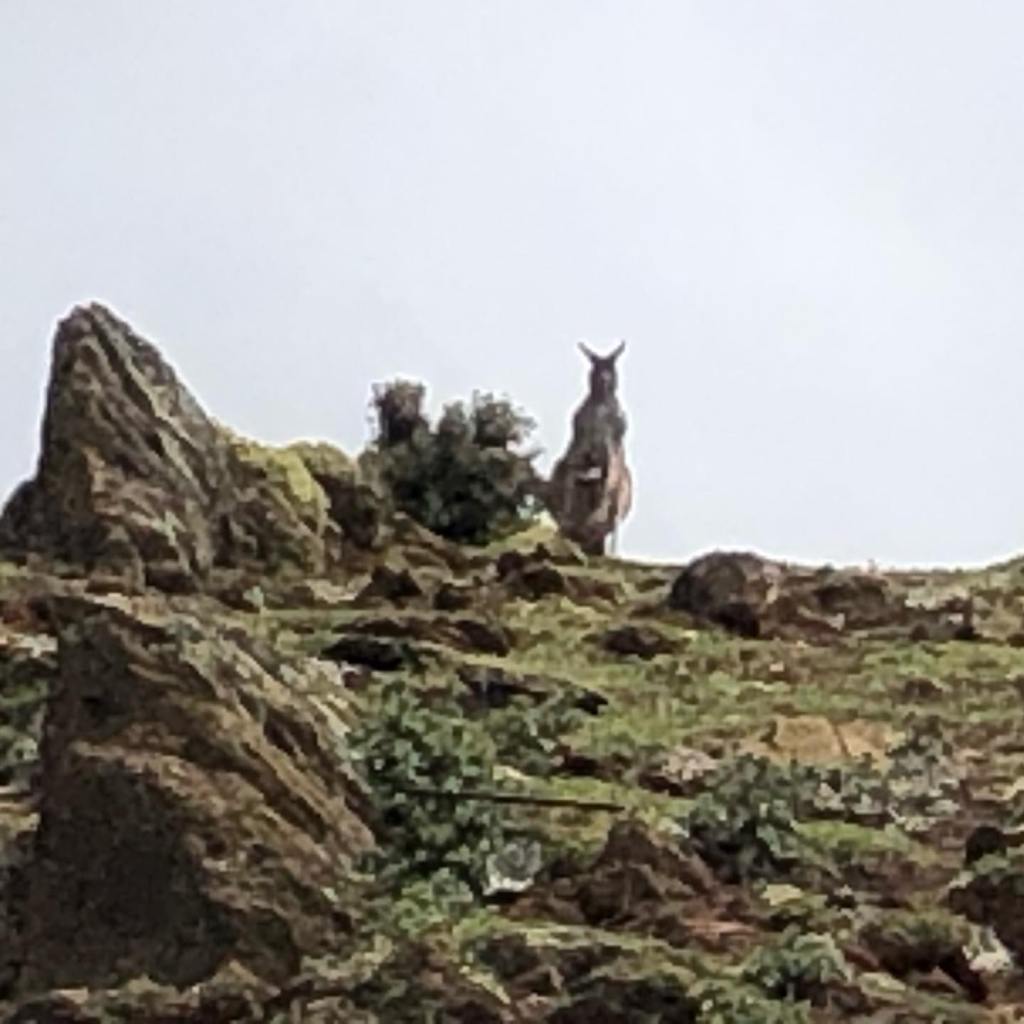
A lone kangaroo with a joey stood sentinel at the top seemingly nonplussed at my arrival.
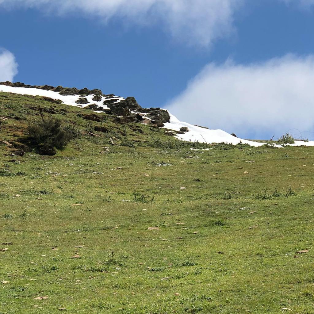
As I was heading up I could see white patches which I initially thought was exposed rock. However when I got closer to the top, I could see it was snow – quite extraordinary at this time of year.
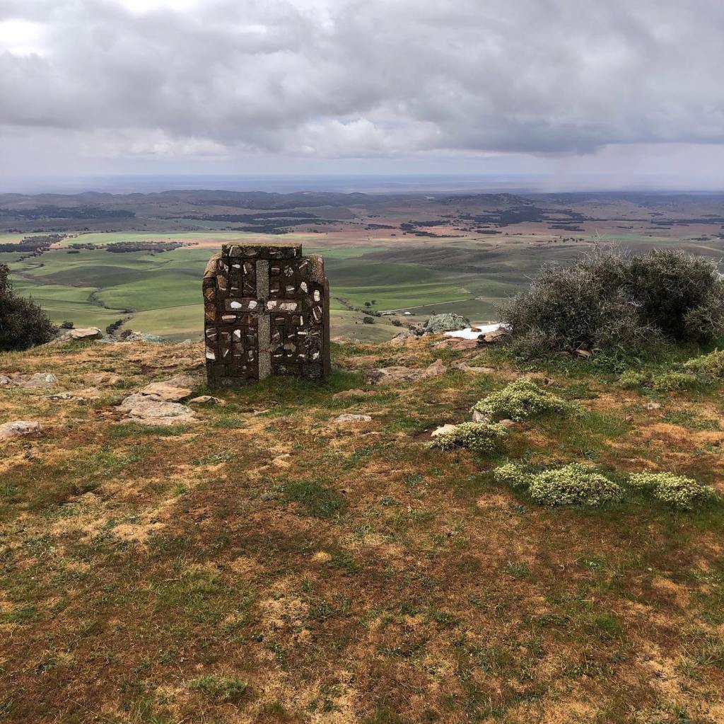
Although it was very cold, I did spend some time at the top being buffeted by the wind taking in the striking 360 degree view.
Bishops Seat facing south at the top of My BryanView to the east
After a short stop , I decided to head down. I found the trail markers confusing here – after dithering about for some time I decided to head west toward Hallett and only then did I find the marker higher up on a telephone pole at the fence line at the back of the peak. On the way down I came across a small mob of kangaroos with one of the biggest males I have ever seen. I was quite relieved when he decided to follow the rest of the mob down the hill away from me. The descent passes through a nice grassy valley before rejoining an unsealed road. It is then pretty flat through the town of small town of Hallett and my chosen stopping point.
Hallett is the closest town to Mt Bryan East, birthplace of Sir Hubert Wilkins polar explorer, ornithologist, pilot, soldier, geographer and photographer (1888–1958), perhaps the last modern explorer. Sir Hubert Wilkins birthplace and childhood home, Netfield, now restored as a historic site, is easily accessible from the Mount Dare Driving Circuit between Hallett and Terowie.
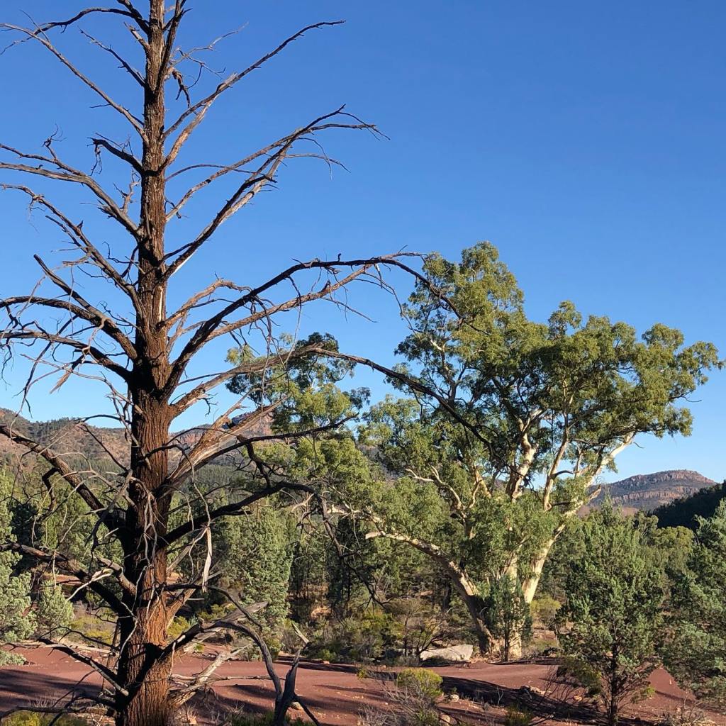
A day of sun, wind and hail. We based ourselves at Spalding in the North Mt Lofty Ranges to spend a few days on adjacent trail sections. There are limited accommodation options in this area so its best to book ahead.
View north toward Spalding from run start
Arriving around lunch time, I decided to kickstart the weekend with a shorter run of around 15 km from the point where the trail joins the road at the junction of Olives Road and a long stone wall heading northward into Spalding.
This part of the trail was mostly along dirt roads with some bike path sections closer to Spalding. The terrain is undulating but not at all technical. At one point the trail joins the Goyder Highway and then diverts into farmland after crossing over the Morgan – Whyalla pipeline. However when I was there, the trail was completely overgrown with waist high grass. As it was well and truly snake season, I opted to run along the edge of the highway parallel to the trail and then turn right at Deep Creek Road to pick up the trail again where it crossed that road. This meant I ran a few extra kilometers but better than encountering a snake!
Ideal snake habitat
Then it was along a bit of a bike path shared with the Mawson Trail into the back of Spalding.
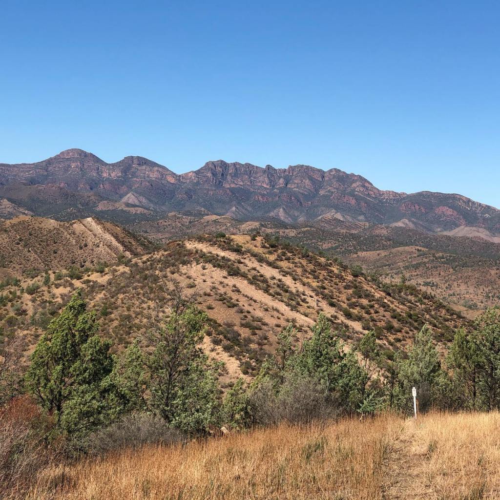
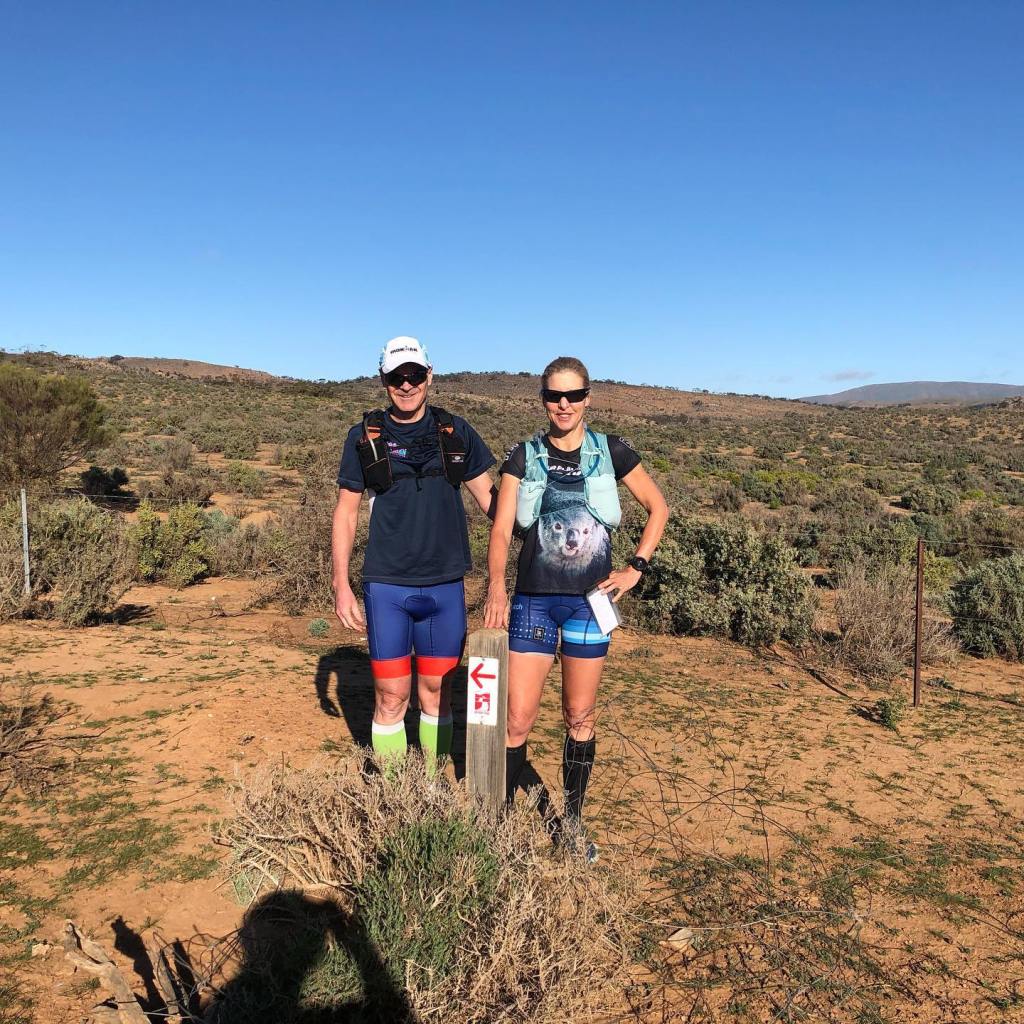
Fortunately not running in a circle – which could easily happen with my navigation skills – we traversed through a semi arid landscape to meet up again with Dust Hole Creek Road. I was happy to be running with Andrew for company again in this barren landscape.
The scenery through here is stark but beautiful, although the trail is quite stony in parts and it had some decent climbs and descents.
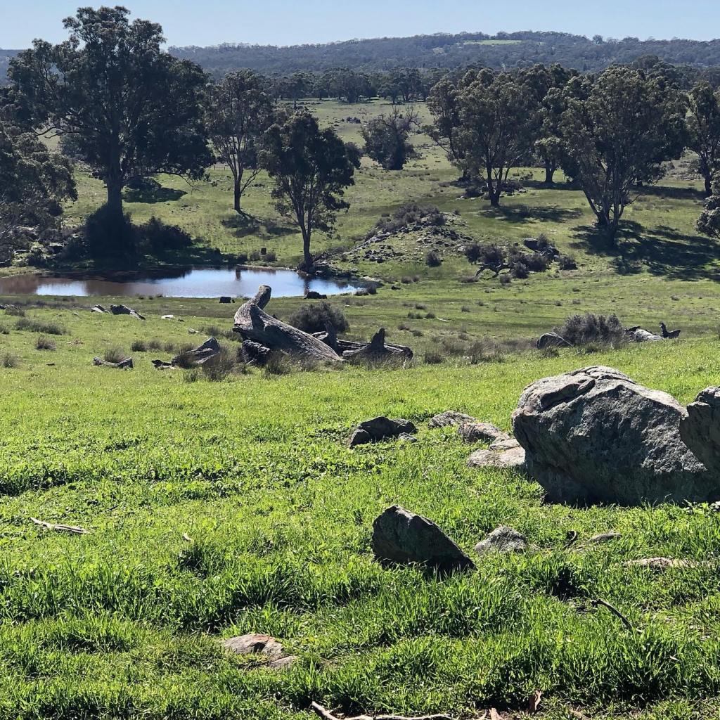
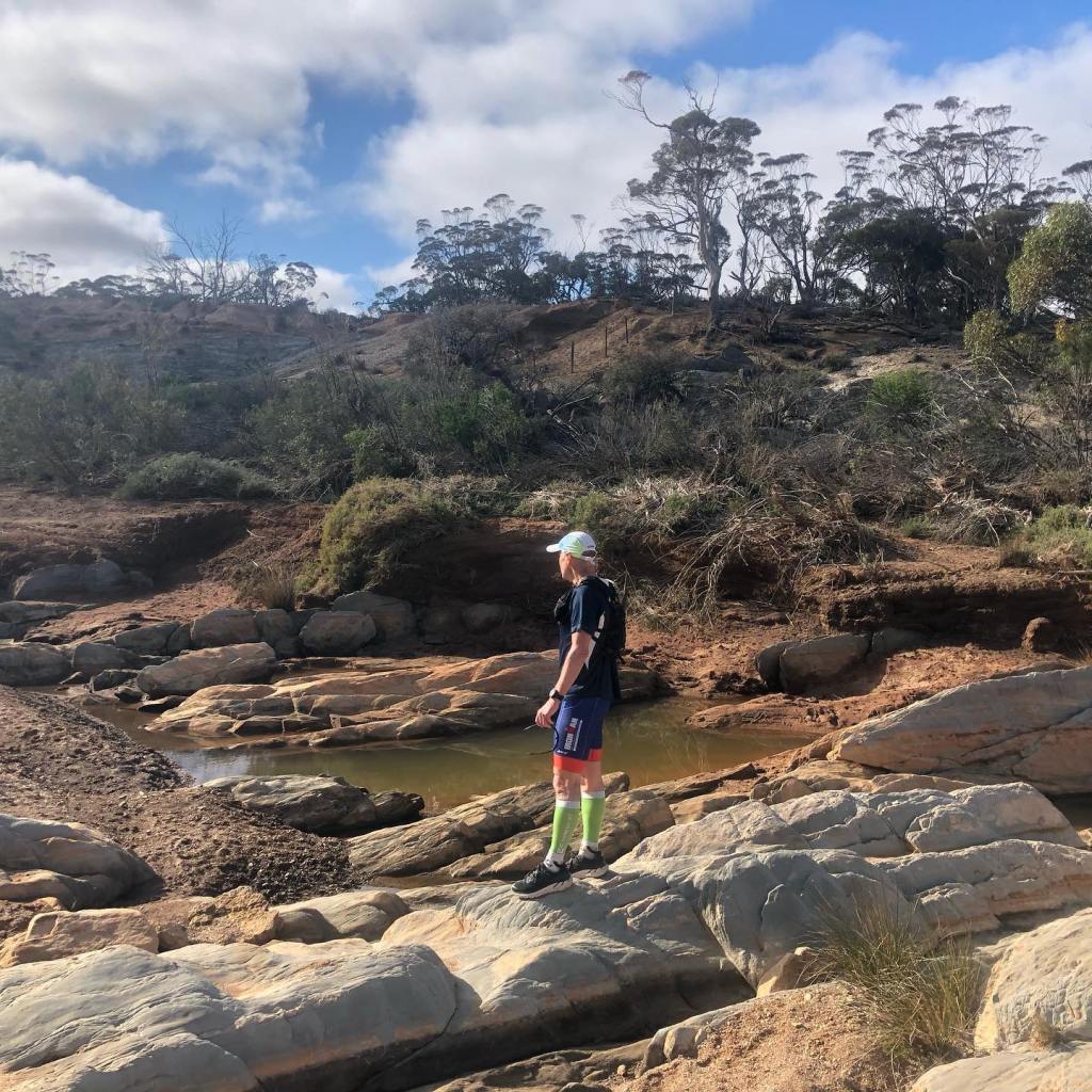
We did come across a creek with some water still in it – the first water seen for some kilometers on the trail.
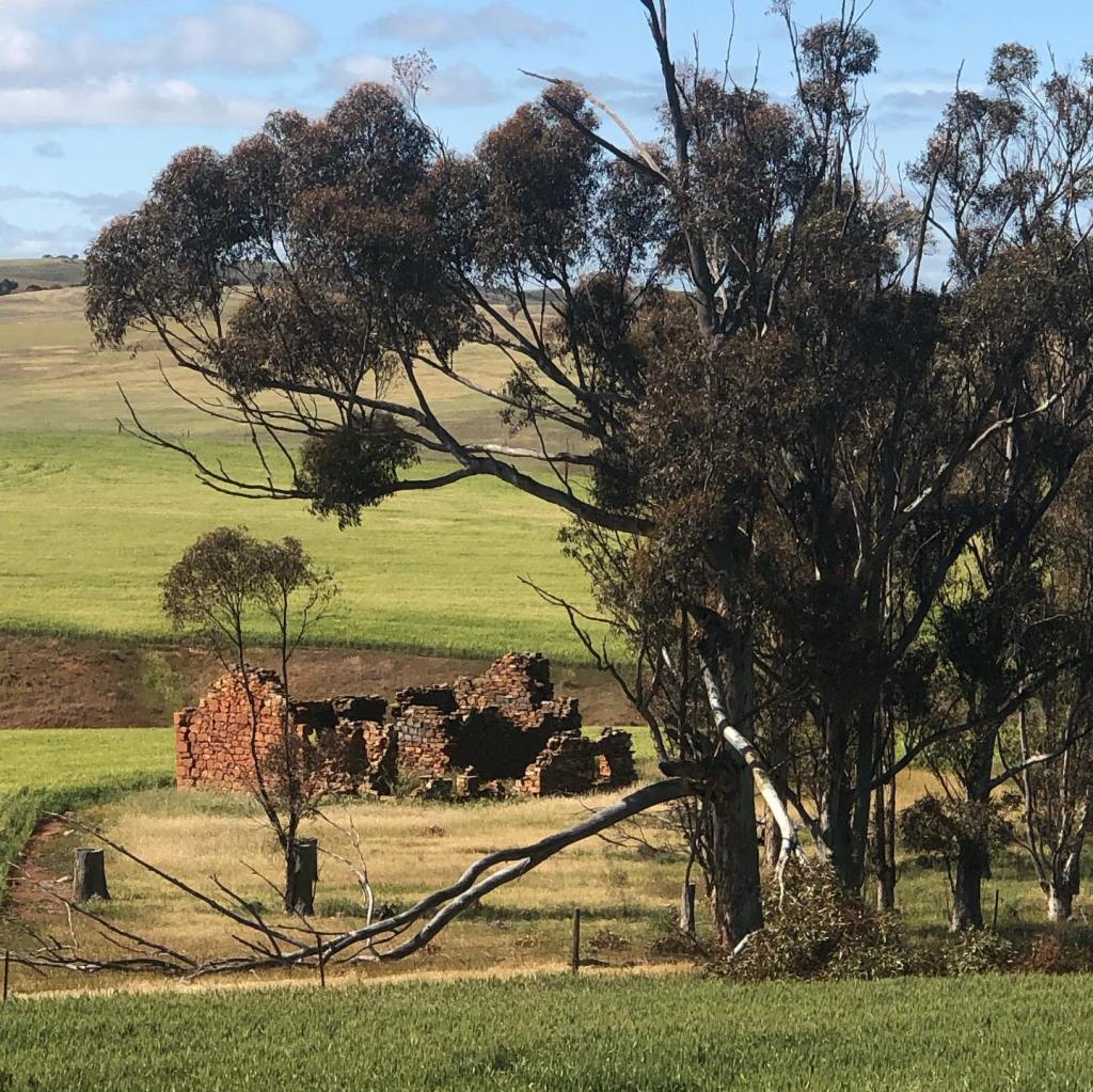
We did not encounter a single other person on the trail, but came across the ruins of a settlers cottage, seemingly in the middle of nowhere. Apparently the Thomas family settled here and tried to farm the land. There was no nearby town and supplies were brought in by bullock wagon train – a slow and no doubt infrequent service. All in all, a courageous decision. As this location is above Goyder’s Line (the average annual rainfall line after which there is insufficient rain to support farming), one wonders how long it was before the venture was abandoned.
Thomas Hut ruins
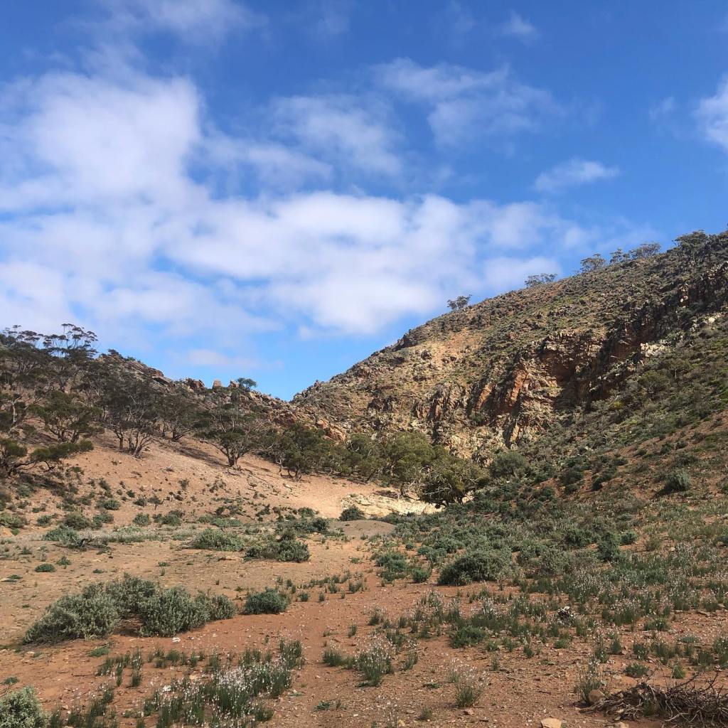
After the cottage ruins, we ran through Tourilie Gorge which was absolutely stunning. This was also the route the bullock wagon train took and there are remnant traces of its route. Standing in the middle of the gorge, it was hard not to reflect on how ancient the land was and how fleeting we are in the time continuum.
Start of the Tourilie Gorge
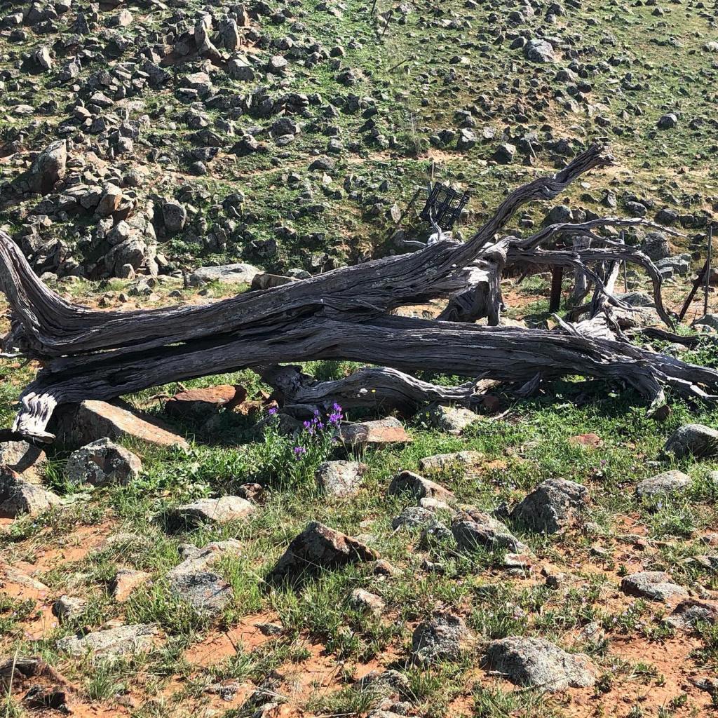
After the gorge, we rejoined Dust Hole Creek Road again, and snapped a blue tongue lizard, who promptly snapped back.😉
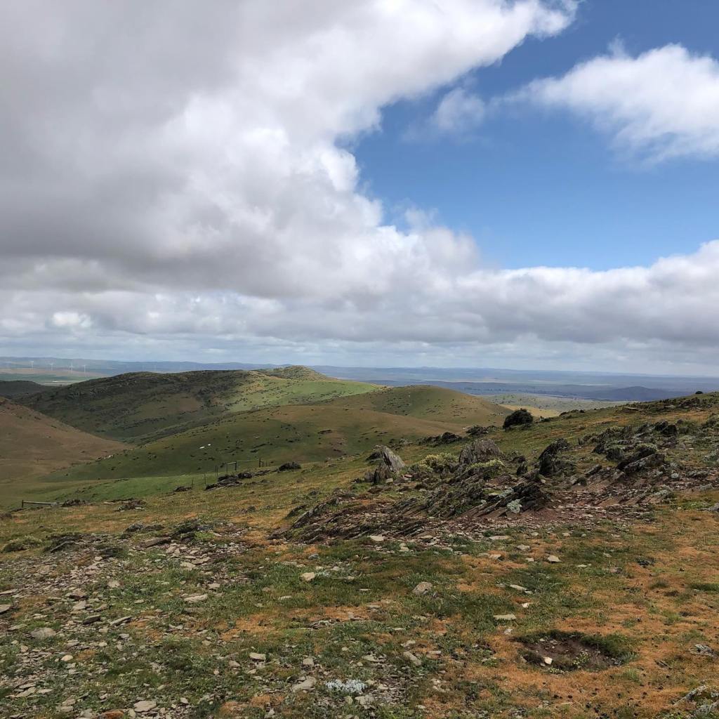
From our stopping point, looking toward Hallett, we could see the ranges to the north and Mt Bryan awaiting us.
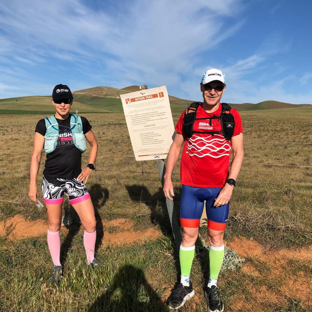
Starting back at Wandillah Road and heading north this time, I was joined by my husband for this run with our daughter providing drop off and pick up services.
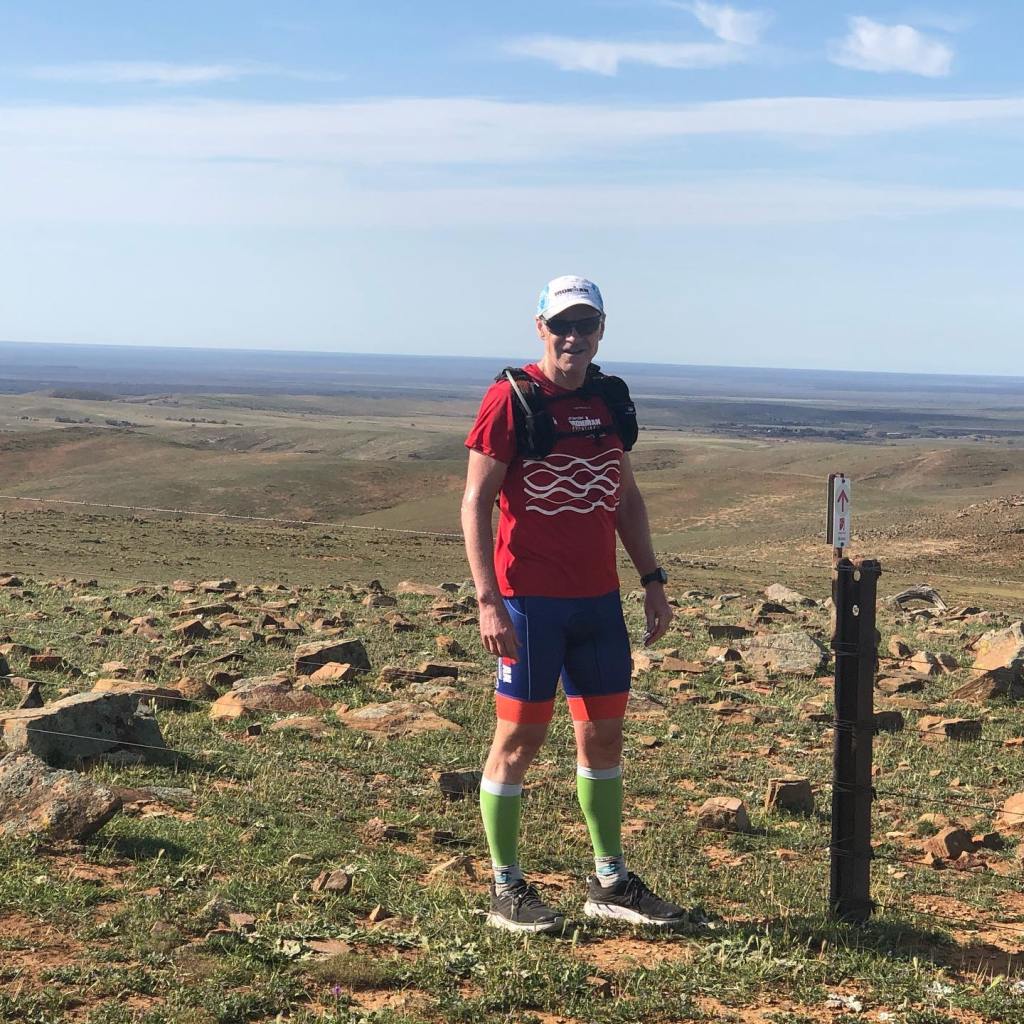
It was another sunny day with a cool morning and no wind – perfect running conditions. After a very short run along the unsealed road, we again headed uphill onto very similar terrain to the previous day.
Running across a valley, we provided some entertainment for a wedge tailed eagle which must have spotted us moving across the land and decided to check us out. Completely silent, the first hint of its presence was its rather large shadow from behind – quite startling. It did a flyover – close enough to see with some relief that its legs and talons were up – did a circle and then bored, flew off. They are magnificent birds and it was a thrill to see one so close up.
Looking westMore lizards
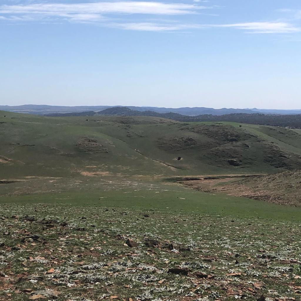
We saw plenty of lizards (and thankfully no snakes), kangaroos and the countryside was definitely becoming more arid. No surprises to find the appropriately named Dust Hole Creek.
Looking north from our finishing point, the next section promised to be even drier and dustier.