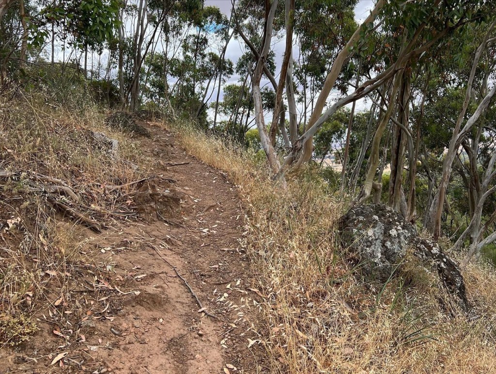
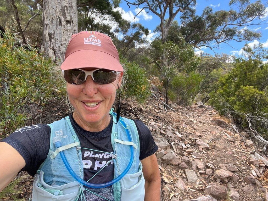
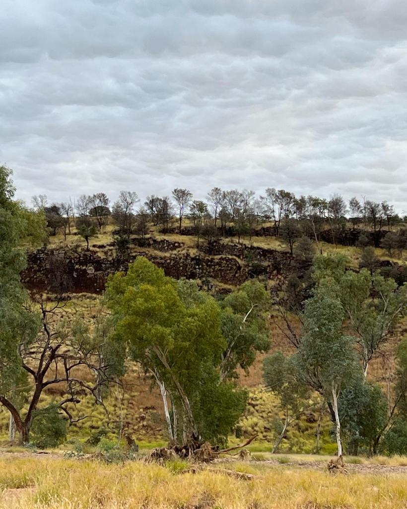
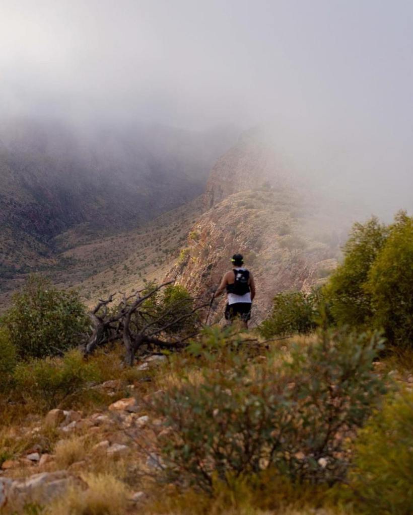
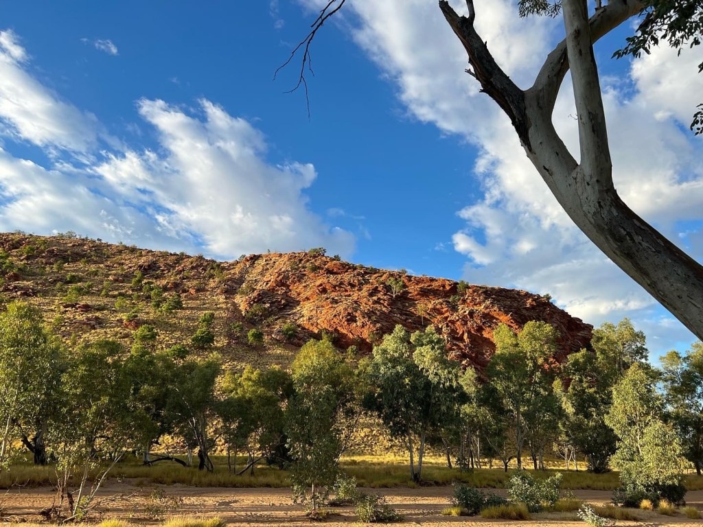
Quick pre christmas trip to the south Flinders Ranges to work on my hiking skills. Trying to increase efficiency over rough terrain. Made it back seconds before the thunderstorm broke and the heavens opened. Phew 😯


Make your own adventure
Quick pre christmas trip to the south Flinders Ranges to work on my hiking skills. Trying to increase efficiency over rough terrain. Made it back seconds before the thunderstorm broke and the heavens opened. Phew 😯
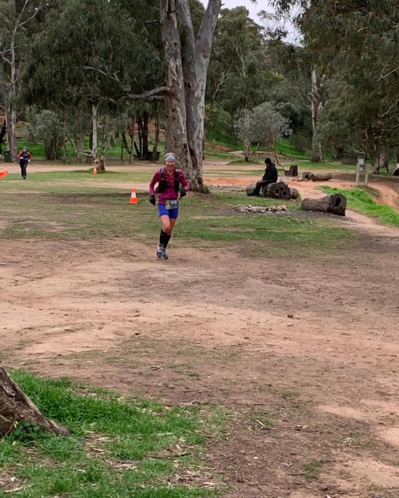
Before turning my attention to Hawaii, I decided to indulge my love of trail running with 2 back to back weekends of long distance running to explore my resilience and endurance levels. Two very different courses, both challenging and beautiful in their own ways.
Race 1: Ultra Hard Series – Cape to Bay 42 km Elevation (Strava) 1,177m
Sunday 24 July 2022
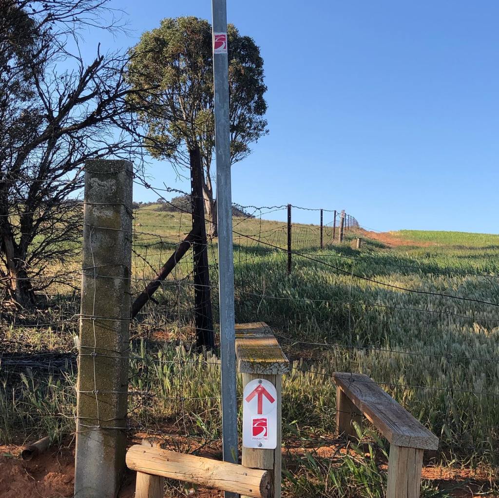
Originally a 39 km event, wet weather in the lead up period meant a change in the short course departure point, increasing the overall distance to 42 km. The Ultra Hard series consists of 4 events, with minimal support. Runners are expected to be almost entirely self-sufficient. For the short course, there was only one aid station which was primarily for drop bags and the athletes competing in the longer course. As the course ran along the Heysen Trail, there was no additional course marking. There were however a couple of check points for runner safety.
The short course race started at the Tappanappa Campground and finished at the Bluff at Victor Harbour. The long course (68km) started at Cape Jervis. The scenery along the south coast is absolutely stunning, with sweeping views over headlands, Kangaroo Island in the distance and the ocean with its palette of changing moods a welcome distraction. However the trail is quite rough and very technical in parts, so I needed to keep my focus pretty much on where I should place my feet and just grab glimpses of the scenery when I could. Also I had to keep an eye out for the Heysen Trail signs, to avoid straying off course. As per usual, I was not entirely successful in this endeavour and managed to give myself an extra 3 kms in navigational errors, rounding up my run to 44.9 km. And no, I did not feel the need to run another 100m at the end.
There was a lot of beach running including Tunkallilla, Waitpinga and Parsons beaches and although I didn’t notice anything at the time, I woke up the next morning to find that my calves had turned to concrete. This did cause me some concern with the Melrose run only days away, but eventually the stiffness disappeared, so I could not rely on that entry in my Big Book of Excuses for any subsequent poor performance. As I need to practice using my running poles, I took them with me, in the hope that I would eventually become less of a numpty when using them. And I did find them extremely helpful on the beach sections, enabling me to maintain a steady pace across the sand. It was always good to leave the sand onto firmer ground, but anyone who has ever done the climb up the fence line from Tunkallilla Beach knows how challenging it is, and it lived up to my not so fond memories from my previous encounter.
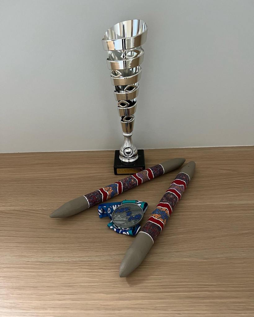
With a very small field, I was fortunate that my navigational blunders didn’t prevent me from being the first female to finish, and I received some beautiful indigenous clap sticks to commemorate the result.
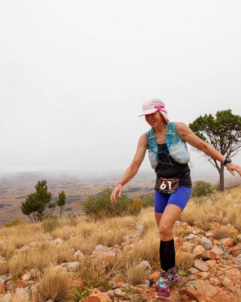
Race 2: Melrose Running Festival 50 km Elevation (Alltrails) 1897 m.
Saturday 30 July 2022
6 days later, I was toeing the line for the start of this run. Although my calves seemed to have finally recovered, I had some degree of trepidation regarding my overall level of recovery. But nothing ventured, nothing gained was my thinking and at the very least it would be a test of mental fortitude.
To be sure, this is a challenging course with a bit of everything – rock hopping and boulder clambering through Hidden Gorge, some fire trail and open pasture, lots of rocky trail and scree slopes, and plenty of up and down, including the seemingly endless climb up and over Mt Remarkable. The course started at the Baroota Ruins Campground in the Mt Remarkable National Park, did a lap around Davey Gully, then heads along the Mambray Creek trail, before a loop through Hidden Gorge and back to the Mambray Creek trail where you ran a section of that trail for a second time. Then the real climbing begins. Basically then it was up from 24.5 km to 33 kms, when there is a brief respite before the trail tips upwards again to the 44 km mark. Then its downhill for the last 6 or so kms to the finish line. Originally I didn’t think I would use poles, but having reconsidered the steepness of the elevation gain over distance in the middle section of the course, I was heartily glad I packed them in my drop bag at and collected them at the 24.5 km mark aid station. I dropped them off in my second drop bag at the aid station at the top of Mt Remarkable, as the descent is quite technical, with lots of rocks and scree slopes and I don’t need any additional tripping aids as I quite accomplished in that area.
Although completely different scenery to our south coast, the setting is spectacular and the views from the tops of the climbs are breathtaking (in every sense). I saw kangaroos hopping across the trail from time to time, some glorious parrots and lovely wild flowers. After a long day, I was stoked to back up from the previous weekend and finish as 4th female overall.

Adelaide Trail Runners did an amazing job marking the trail – even I couldn’t get lost – and manning the aid stations. The finish line was fantastic with hot soup and fruit available, with the real treasure being the race organiser’s mum’s absolutely delicious home baked goods – something I had experienced at the winter teams championship and thus had been looking forward to for some time. It was an incredibly well run event with multiple distances on offer in a truly spectacular setting. I think there may be some course changes next year to keep things interesting. Melrose is a great place to visit and the café attached to the bike shop has excellent coffee and lots of yummy food.
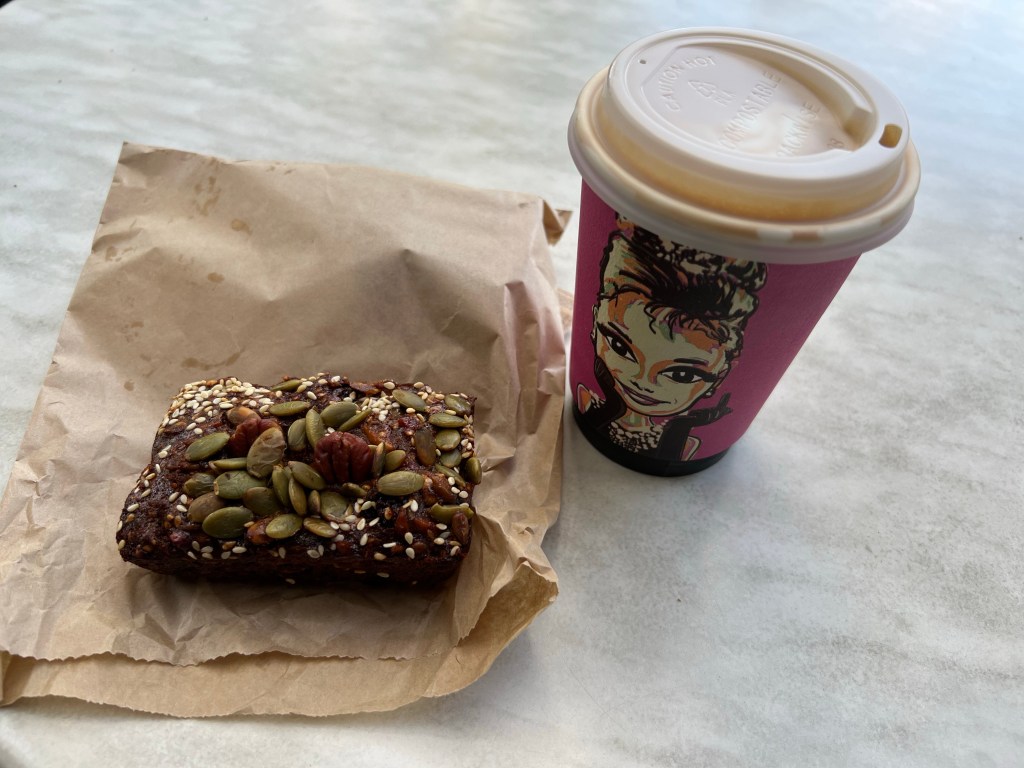
Why, hilly bike run reps of course! And deliciousness.
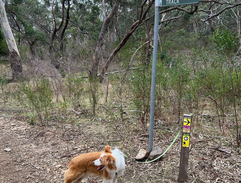
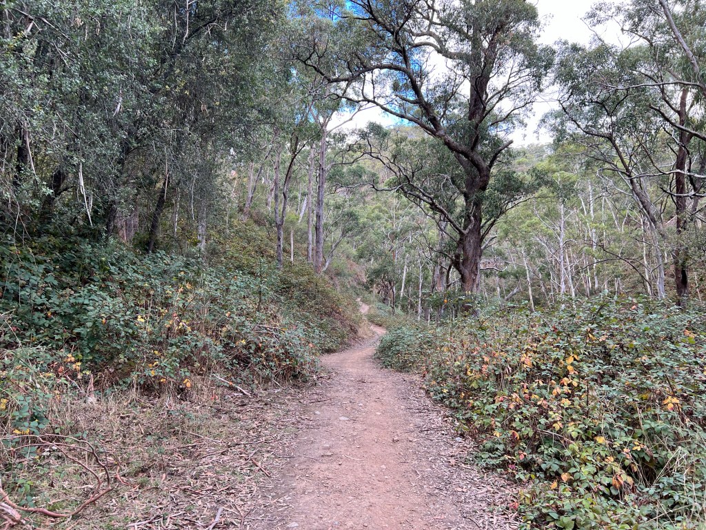
Trails with my buddy

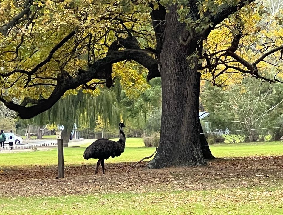
Having fun getting lost
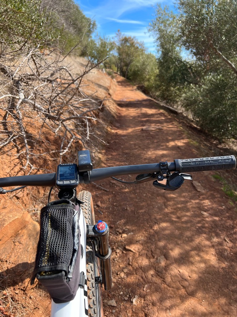
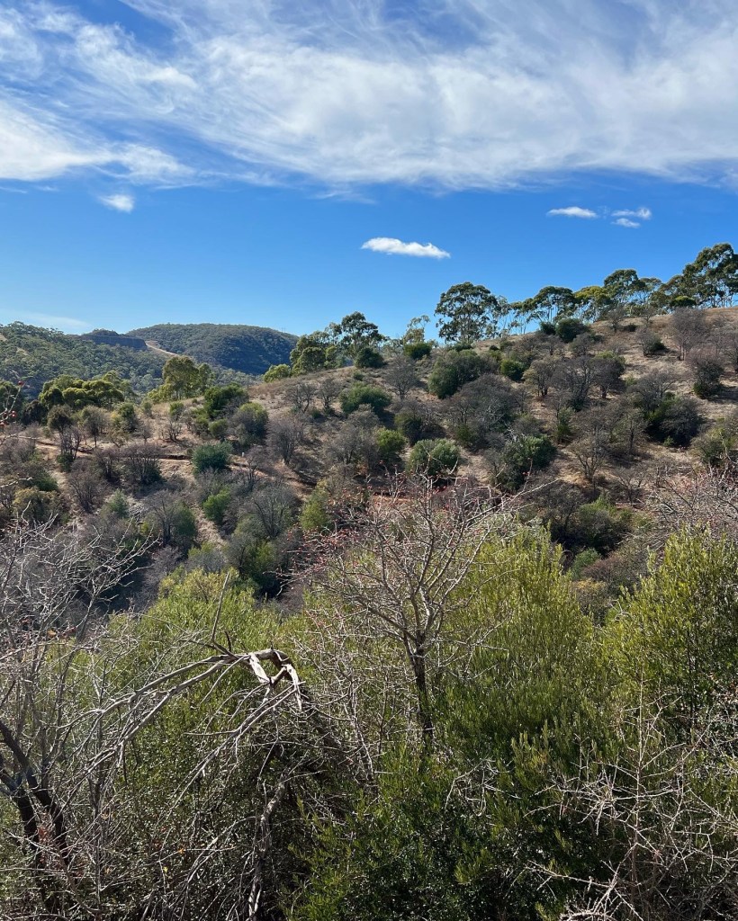
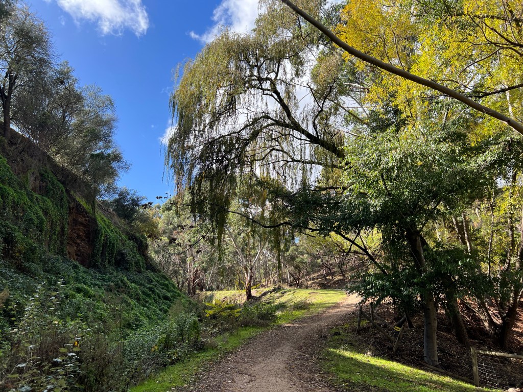
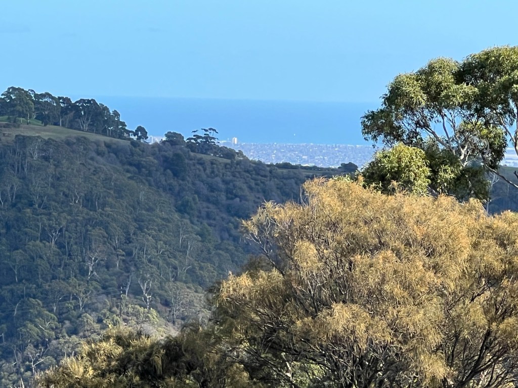
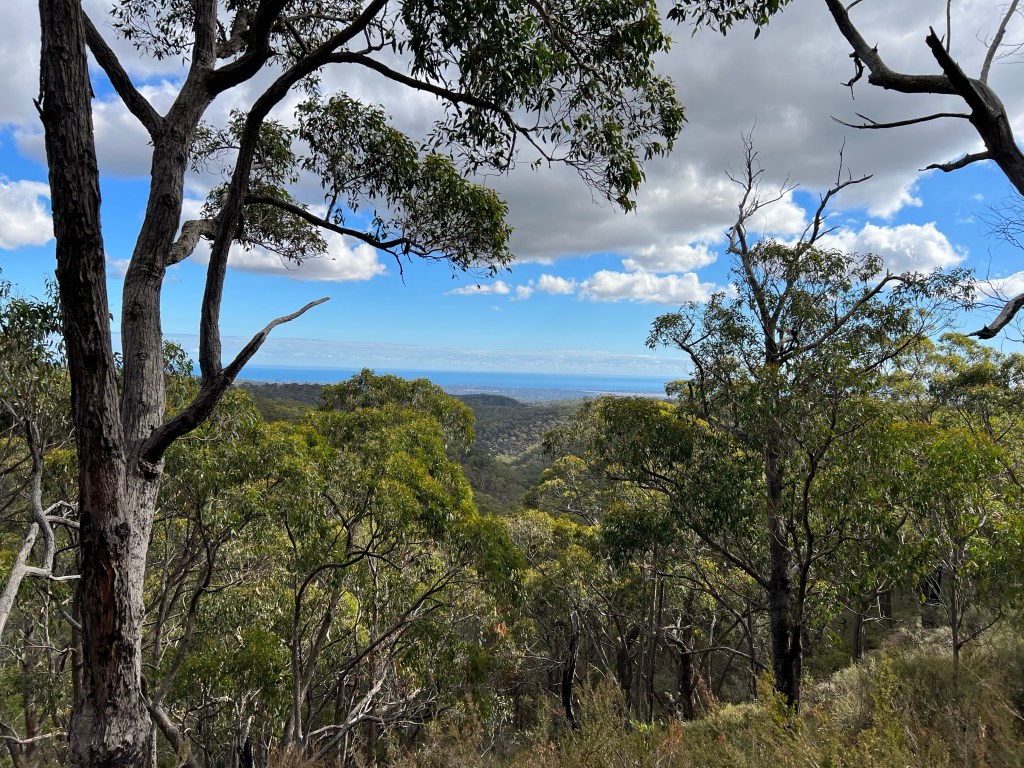
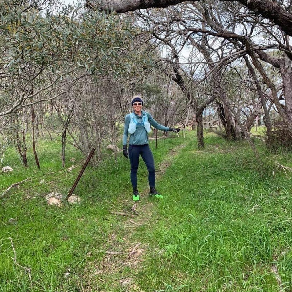
Making the most of the autumn weather in the beautiful Adelaide hills.
22 – 25 April 2022
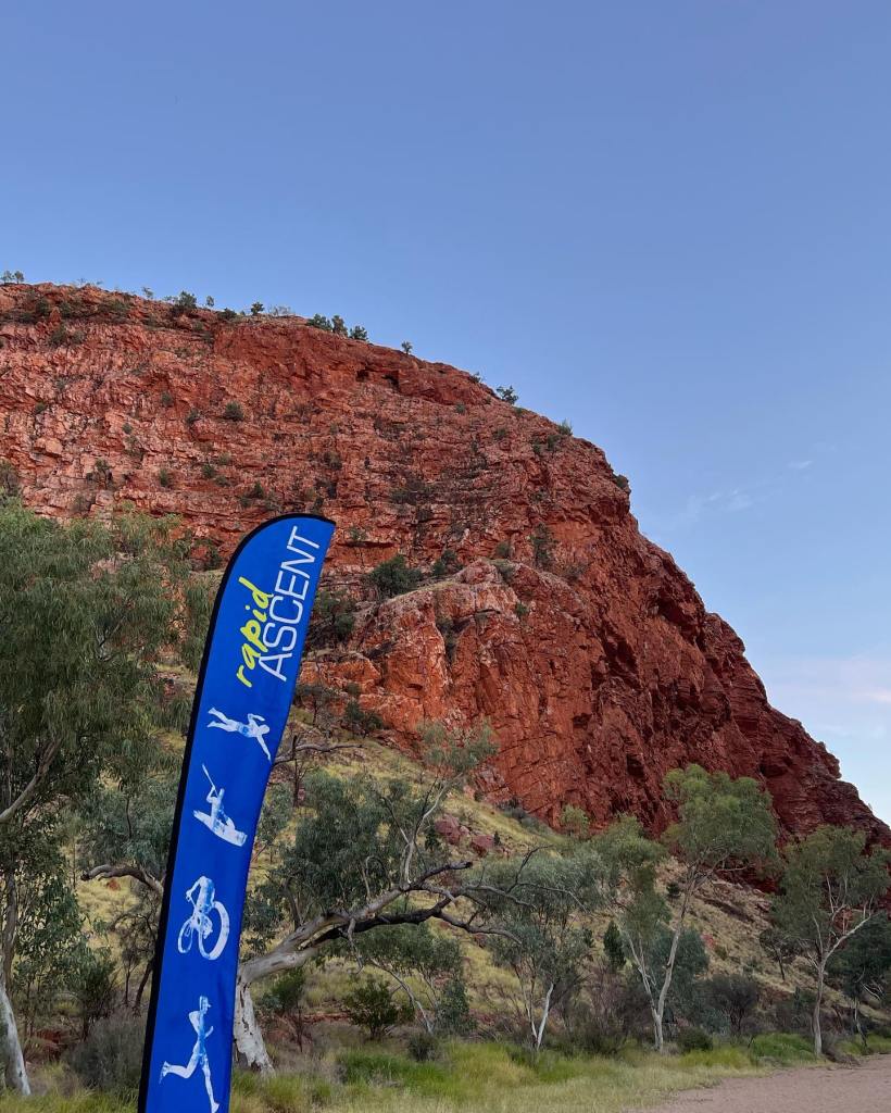
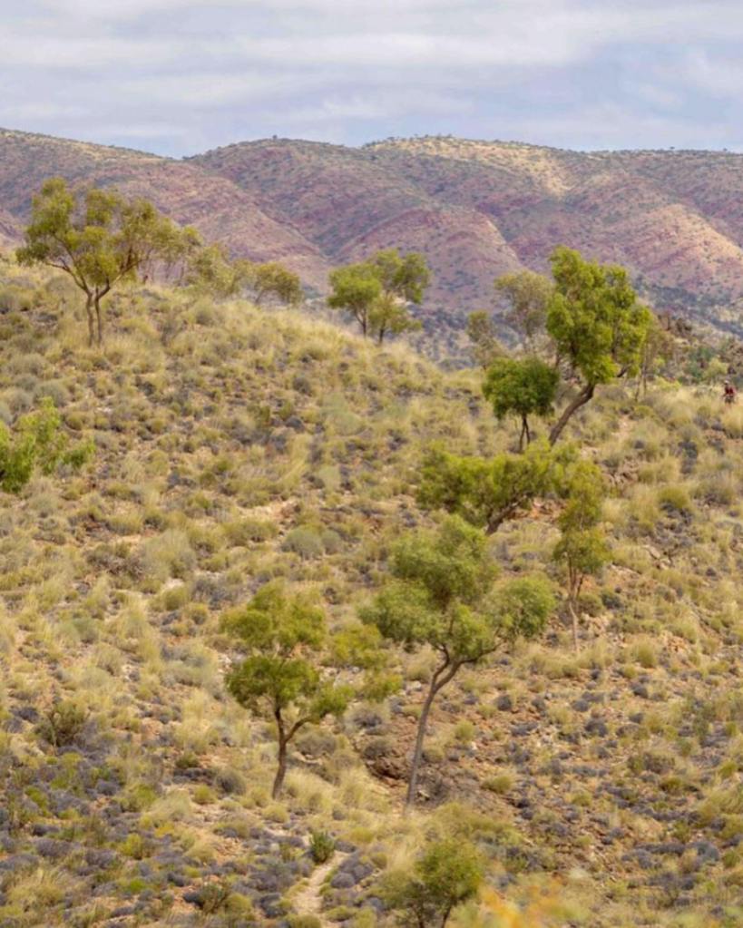
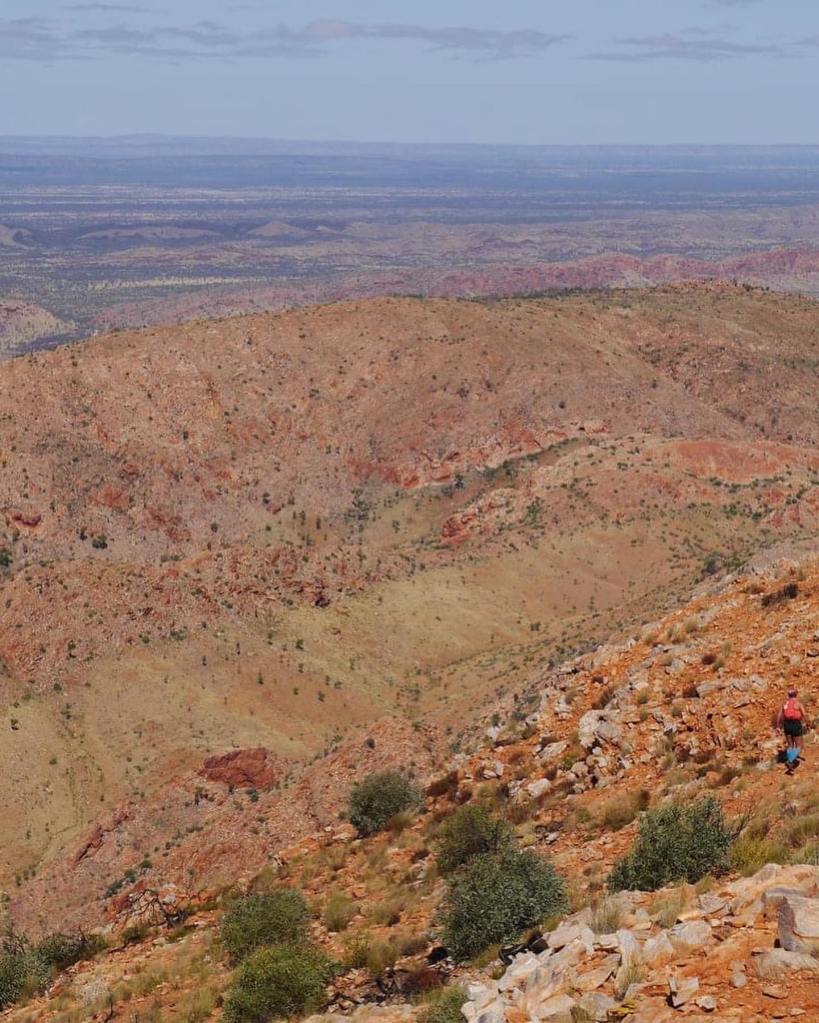
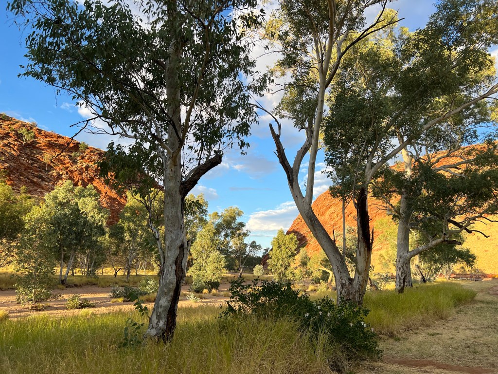
Run Larapinta is a 4 day, 4 stage trail running race along the most spectacular sections of the iconic Larapinta Trail in Australia’s Northern Territory. It was without doubt, one of the hardest things I have ever done. It was challenging, at times brutal, but the landscape is truly stunning and the camaraderie from fellow runners and encouragement from the race organisers and volunteers was truly wonderful.
There are 2 options for the event – The Malbunka (long course) and the Namatjira (short course – a relative concept). I signed up for the long course – a decision I questioned on more than one occasion.
Stage 1: 20 km around Alice Springs from the Botanic Gardens to the Old Telegraph Station. Elevation: 220m up, 220m down.
Stage 1 started at 5.30 pm which turned into a night run when the sun set at 6.15 pm. Learning #1: a couple of runs last year night round the local river (which is partially lit) is insufficient training for running on mtb single track in the pitch black outback.
Stage 2: 41 km Simpsons Gap to Standley Chasm. Elevation: 1,300m up and 1,075m down.
With a 6.40 am start time and a 45 minute bus drive to the start, there was only a short turn around time to the start of the second stage. This was also the hardest stage, so it was always going to be a long day. There was a lot of rock clambering, rocky creek bed to navigate and overgrown trail sections due to recent significant rains. This stage truly lived up to expectations, enhanced by my stacking it early on leading to numerous grazes and bruises. Epic.
Stage 3: 33 km Birthday Creek turn off to Standley Chasm. Elevation: 870m up and 760m down.
Needless to say I was feeling the effects of the last two days at the start of this third stage. However I wasn’t the only one groaning. However after about 45 minutes I started to feel better and I really enjoyed myself on this run. After a cool start, it got pretty warm by the end and I was grateful for the mandatory fluid requirements.
Stage 4: 34 km Ochre Pits to Ellery Creek Waterhole. Elevation: 1000m up and 1050m down
A very cool and misty start to the final stage. Unfortunately I missed a turn off early on and gave myself an extra 3 km to run and wasted considerable time pfaffing about before making my way back to the turn off. I found this stage mentally the hardest of all – there were time I felt close to tears and my toes were killing me on every descent. Eventually I crossed the finish line, totally depleted both physically and emotionally. I was amazed to find a photo of me actually smiling during this stage!
A truly unique event – much gratitude to Rapid Ascent and their volunteers for the opportunity to traverse this amazing landscape.
Photos: Foxtail Films
Getting excited – and a little apprehensive!
19 September 2021
Distance 18.5 km
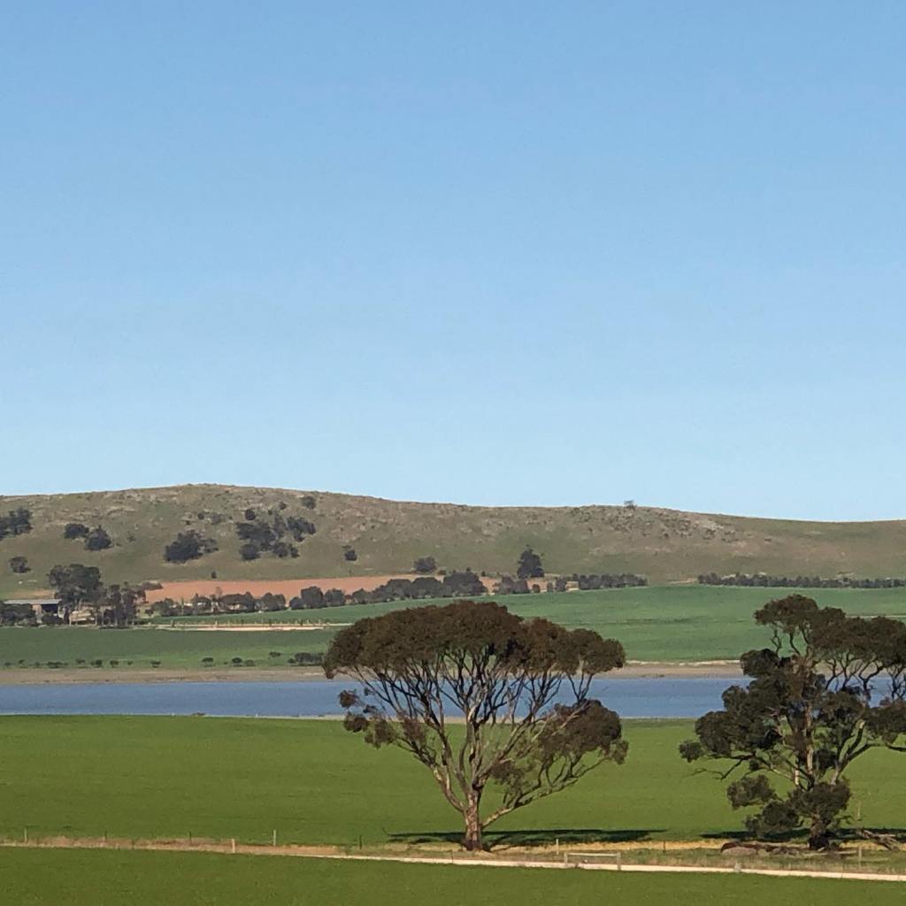
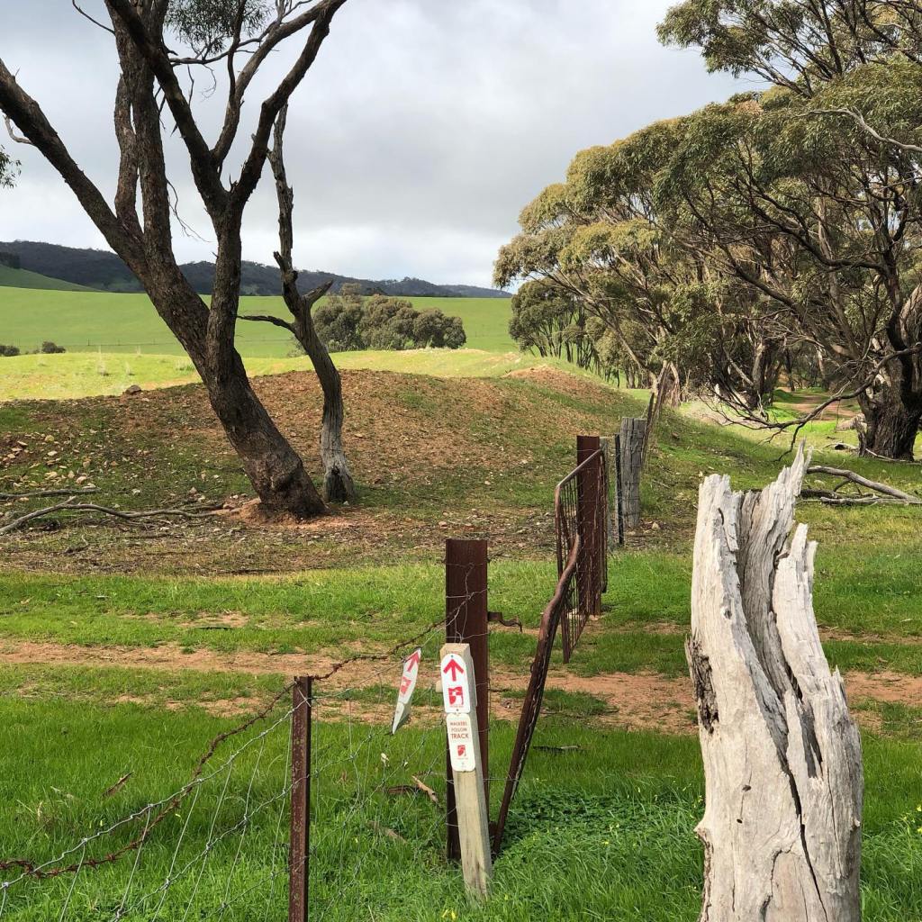
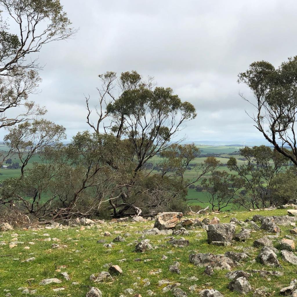
Sneaky Sunday solo run to fill in the last gap in the section of the trail between Tanunda and Burra. This would also complete the trail from the southern starting point at Cape Jervis to a point north of Spalding. This plus the 50 km of the trail in the Flinders Ranges that I did as part of the Hubert 100 trail race, would put me over 60% of the trail complete. Dropping my bike off at Busch Road on the way, I made my way to Tothill Gap. Although there were other cars there indicating walkers or other runners on the trail, once again I had the trail completely to myself.
Once again tracking along the base of Tothill Range and with Apoinga Lagoon to my left, the trail was gently undulating through various paddocks for about 3 km until the first climb at Niblet Gap. It was a lovely clear sunny day, perfect spring weather and ideal for running.
After descending from Niblet Gap, the trail joined Range Road (unsealed), gently undulating before a steady gradual incline up to Webb Gap.
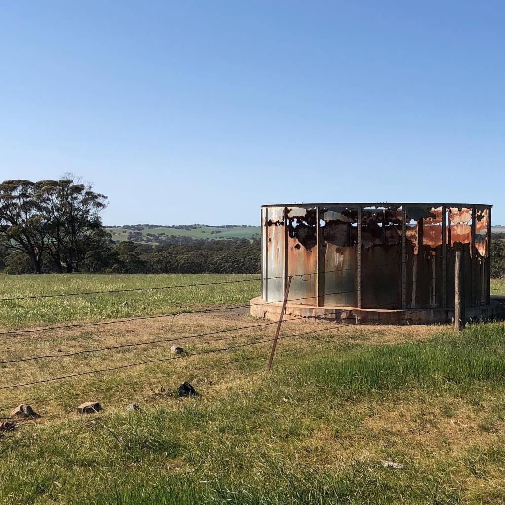
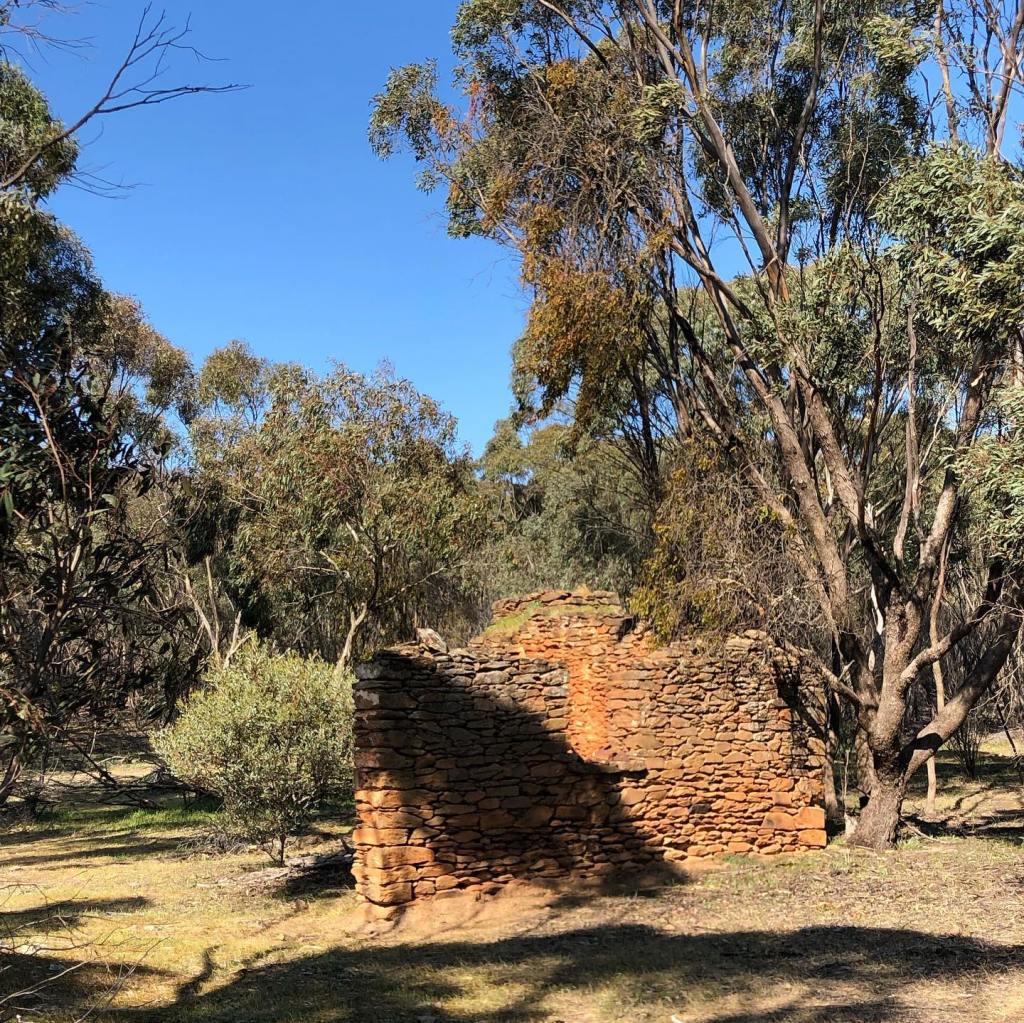
Turning eastward onto Webbs Gap Road, there is a camp site and water if needed, and a number of ruins of old settlers buildings.

Turning south at the junction with Kernchens Road (also unsealed), the trail then leaves the roads and after heading slightly uphill, resumes its course along the base of Tothill Range.
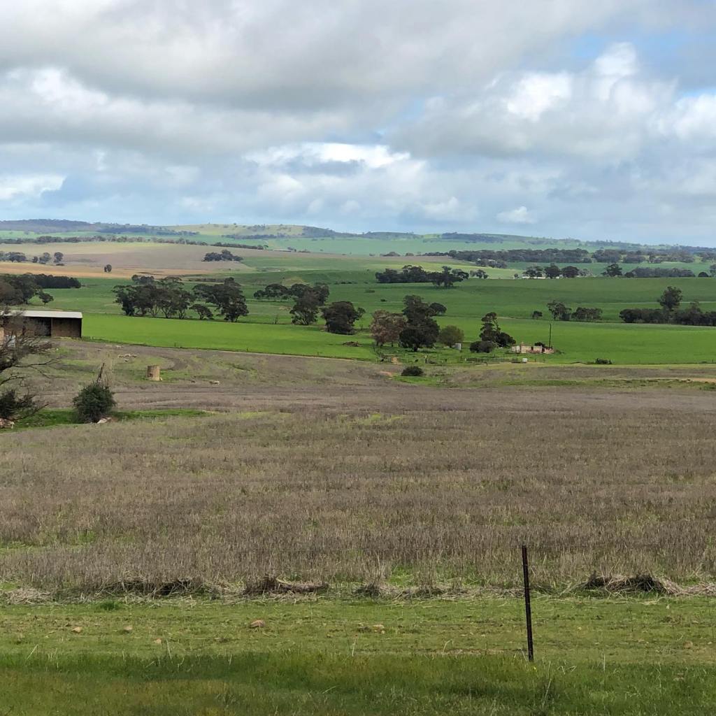
The trail still has some elevation, so there are some nice views, including some golden canola fields ready for harvesting.

Unfortunately as I rounded the last corner about 100 metres from my finishing point, I rolled my ankle badly on a rock hidden under the long grass. Fortunately I had a cracking tail wind on a flat road for my bike ride back to the car, but regrettably I was then out of running action for 6 weeks. That combined with the annual trail closure for fire season (November to April) brought my 2021 Heysen Trail Adventure to an end. To be resumed in 2022!
29 August 2021
Distance 22.7 km
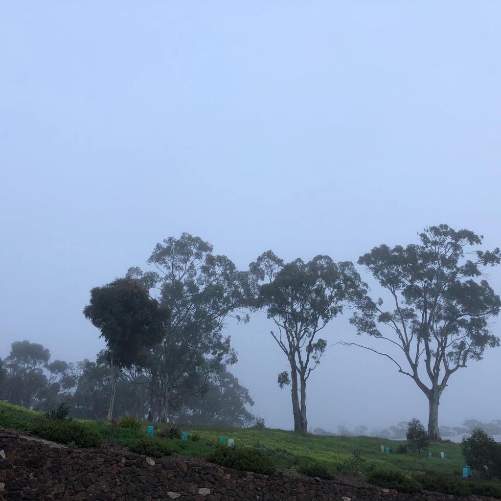
After 3 days of glorious weather, the morning dawned misty and cold. Not unexpected really as it was still winter, although spring was on the horizon. Still we hauled out the warmer gear, including gloves. Fortunately it didn’t rain.
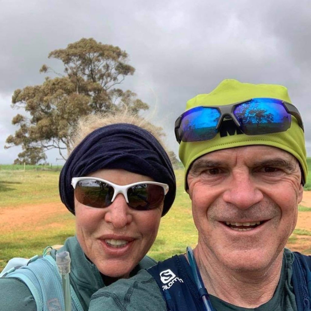
Today I was lucky to have Andrew for company – its definitely more fun when you can have a shared experience. Our starting point was at the junction of Busch and Julia roads (both unsealed), about half way between Marrabel and Tothill Gap, and we ran north to south. Despite it being my fourth consecutive running day, after some initial grumbling from the legs, I felt pretty good. Of course, our route went uphill immediately. As is tradition.
Our path then tracked along the base of Tothill Range for about 4 kms before turning left and climbing up and over the range. The trail here became quite rocky and steep and we had to concentrate on our footing, however the view from the top was worth it. There is a camp site here, with water available, but as it was pretty cold and windy, we only hung around to take a couple of snaps before heading off again.
After descending from the top of the range, we ran along a flat section next to a paddock of sheep, all of whom seem to take exception to our presence and despite the fence between us, ran about bleating madly. The sheep were all ages, so the cacophony of differing and loud bleat pitches sounded like the warming up of some bizarre orchestra.
Eventually (and thankfully) we left the sheep behind, and followed a series of unsealed roads to our finishing point in Marrabel. Ostensibly this part was downhill overall, however there were plenty of undulations that didn’t seem significant according to the map, but let me tell you there were a few rises that bit. The cracking headwind every time we faced west didn’t help. Only the last stretch along Tarnma Road was truly downhill.
A good 4 days running came to an end with the mandatory bakery stop on the way home.
