With travel plans for 2020 in complete disarray, and every race entered either cancelled or deferred, I needed something to motivate me to get out the door and moving.
So I decided to try to run the length of the Heysen Trail.
It is entirely within South Australia, so once regional travel was permitted, I was off and running.
Or so I thought.
Armed with a set of maps to the Southern sector of the trail, minimal map reading skills and an appalling sense of direction, what could possibly go wrong?
Day 1 Cape Jervis to Deep Creek Conservation Park

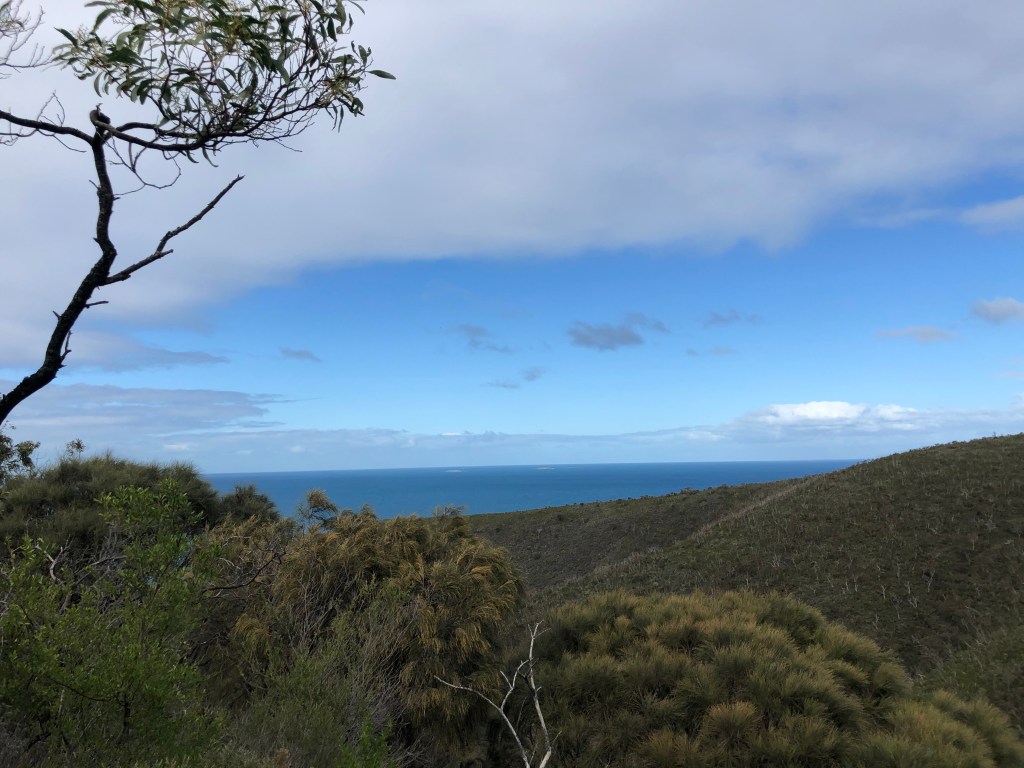
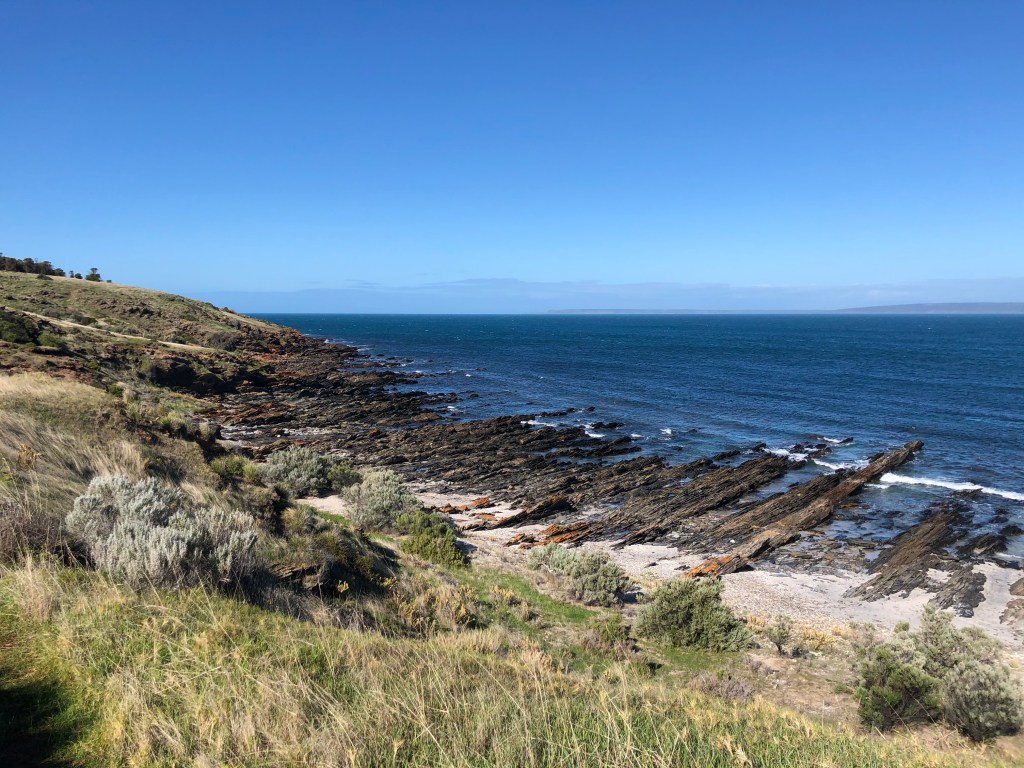
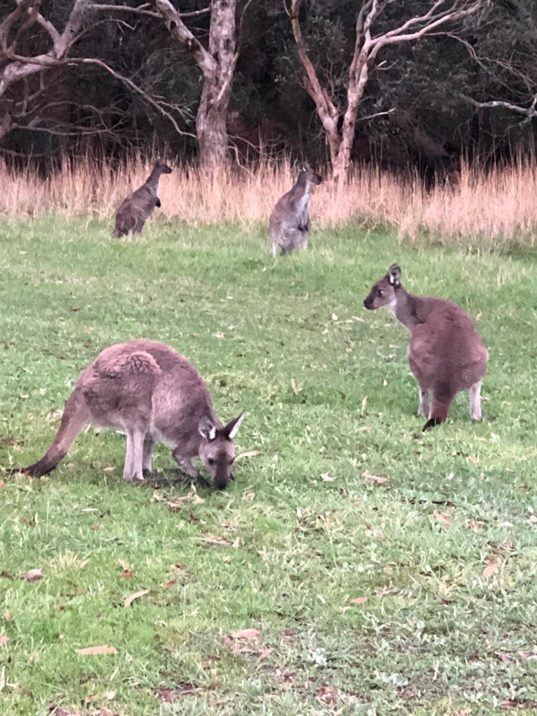
Enlisting my youngest daughter as support crew, we set off for Cape Jervis for the first onslaught as soon as regional travel bans were lifted. We based ourselves at a Deep Creek Conservation Park cabin (with resident kangaroos) and I planned two days of trail running. After agreeing a pick up point, I set off from Cape Jervis. The trail was reasonably flat and runnable to start with but soon became narrow, uneven and rocky which resulted in a lot of run/hiking. The trail was quite well sign posted and the coastal scenery spectacular but I soon learned the perils of inattention as I became lost following a re-routed section at Aaron Creek. After bumbling around and actually running back toward Cape Jervis for a few kilometres (d’oh), I dialled the support crew and headed back to a different pick up point, fortuitously arriving the same time as my daughter arrived from the opposite direction. Just as the storm clouds rolled in. Phew!
Distance: who knows? My Garmin auto-paused during hiking – operator error. Guessing around 21km.
Trail marker point: 15.7 km


Day 2 Trig Campground to Tunk Head Road
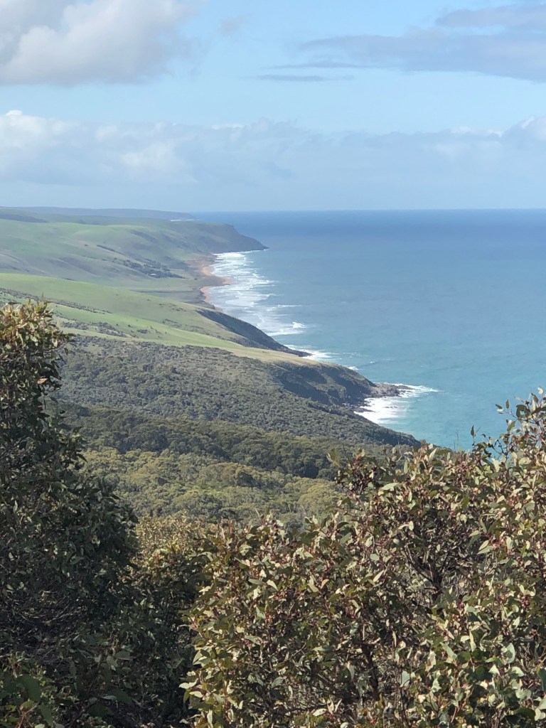
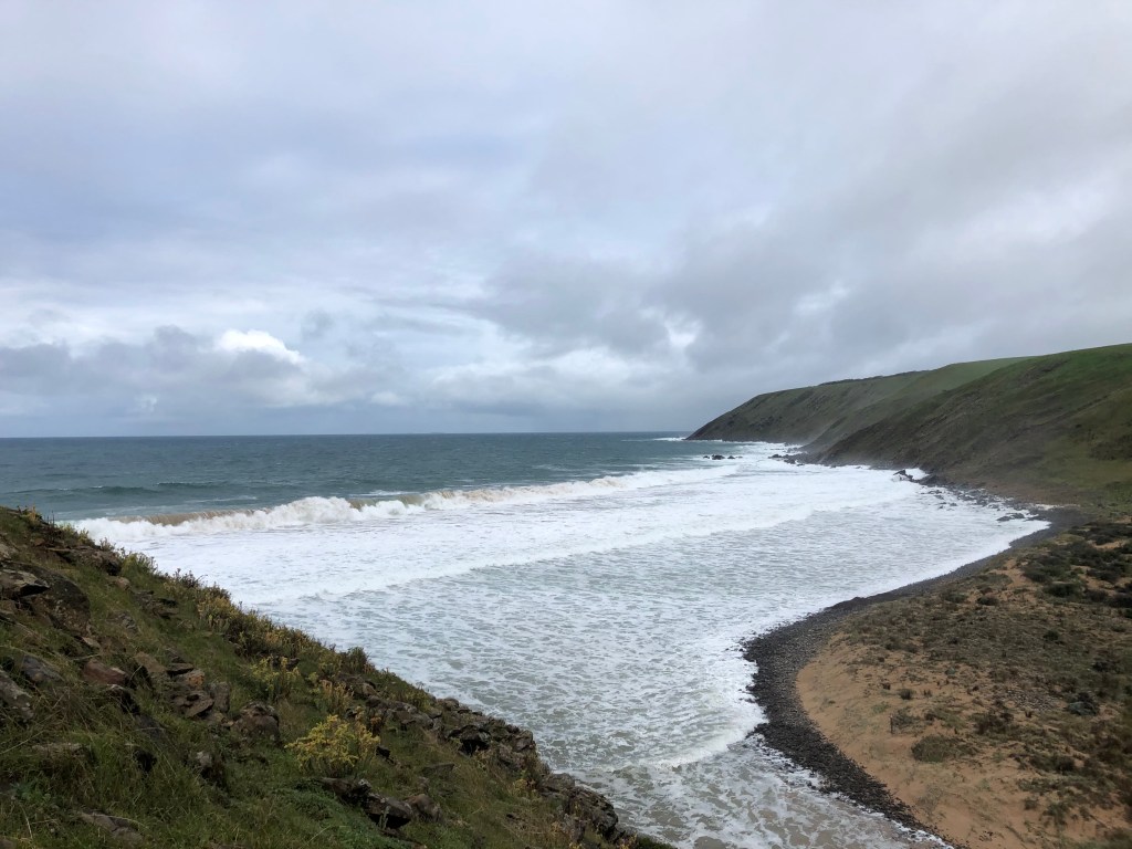
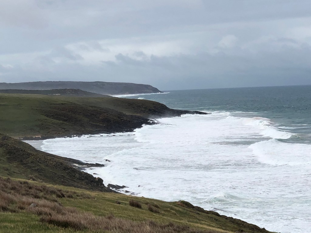
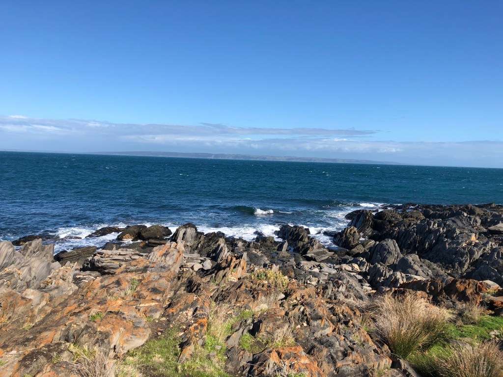
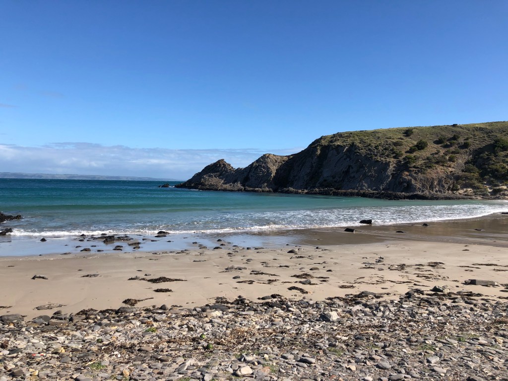
After torrential rain overnight, I decided to defer the section from the Eagle Waterhole to the Trip Campground (trail km 15.7 to km 21) due to the re-route for another time. Setting off from the Trig Campground, the coastline views were stunning but as the trail is narrow, very uneven with ankle testing sloped gradients, to appreciate the views I had to stop. Sections of the trail run along cliffs and are sometimes quite close to the edge in parts which I found mentally challenging, especially as it was quite windy. There was also a fair bit of clambering up and down rocky slopes – again a test of courage. Fearing I had again become lost, and having missed the designated pick up time, I fruitlessly slogged up a hill to try and find mobile reception and/or see the road we were meant to meet at. With no obvious road in sight, I headed back down to Tunkalilla Beach and found the trail sign – straight up an incredibly steep climb. Half way up I made phone contact with my daughter but as I was hanging onto the fence for dear life, I had to make her wait until I got to the top. The last signpost I saw directed me across a paddock full of unfortunate sheep which were quite agitated by my presence, eventually finding my way onto Tunk Head Road. Sigh of relief. Support crew was on the way, and it was so good to see the trusty red nissan come into sight.
Distance run: 20.4 km
Trail Marker point: 41 km